
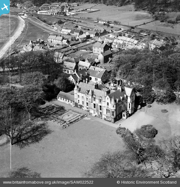
SAW022522 SCOTLAND (1949). Craigflower School, Low Causeway, Torryburn. An oblique aerial photograph taken facing north-west. This image has been produced from a crop marked negative.
© Copyright OpenStreetMap contributors and licensed by the OpenStreetMap Foundation. 2025. Cartography is licensed as CC BY-SA.
Nearby Images (2)
SAW022522

SAW022523

Details
| Title | [SAW022522] Craigflower School, Low Causeway, Torryburn. An oblique aerial photograph taken facing north-west. This image has been produced from a crop marked negative. |
| Reference | SAW022522 |
| Date | 1949 |
| Link | NRHE Collection item 1268959 |
| Place name | |
| Parish | TORRYBURN |
| District | DUNFERMLINE |
| Country | SCOTLAND |
| Easting / Northing | 302408, 686021 |
| Longitude / Latitude | -3.5673192432155, 56.057128133287 |
| National Grid Reference | NT024860 |
Pins

clippedwings |
Sunday 8th of March 2015 10:04:12 PM | |
|
clippedwings |
Sunday 8th of March 2015 09:52:29 PM |