
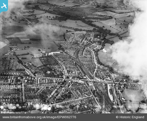
EPW062776 ENGLAND (1939). Meadow Lawn, Tonbridge, from the south-east, 1939
© Copyright OpenStreetMap contributors and licensed by the OpenStreetMap Foundation. 2026. Cartography is licensed as CC BY-SA.
Nearby Images (7)
EPW062776

EPW001424

EPW060388

EPW001418

EPW062775

EPW060386

EPW001420

Details
| Title | [EPW062776] Meadow Lawn, Tonbridge, from the south-east, 1939 |
| Reference | EPW062776 |
| Date | 26-August-1939 |
| Link | |
| Place name | TONBRIDGE |
| Parish | |
| District | |
| Country | ENGLAND |
| Easting / Northing | 558747, 145904 |
| Longitude / Latitude | 0.27195674987191, 51.189762591747 |
| National Grid Reference | TQ587459 |
Pins

Mike Floate |
Friday 18th of October 2013 07:26:25 PM |