
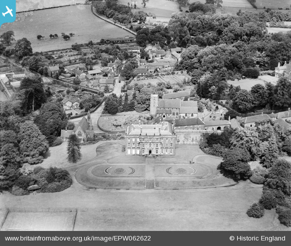
EPW062622 ENGLAND (1939). Swynnerton Hall and St Mary's Church, Swynnerton, 1939
© Copyright OpenStreetMap contributors and licensed by the OpenStreetMap Foundation. 2026. Cartography is licensed as CC BY-SA.
Nearby Images (5)
EPW062622

EPW062619

EPW062618

EPW062617

EPW062616

Details
| Title | [EPW062622] Swynnerton Hall and St Mary's Church, Swynnerton, 1939 |
| Reference | EPW062622 |
| Date | 11-August-1939 |
| Link | |
| Place name | SWYNNERTON |
| Parish | SWYNNERTON |
| District | |
| Country | ENGLAND |
| Easting / Northing | 385206, 335500 |
| Longitude / Latitude | -2.2200394116391, 52.916399357726 |
| National Grid Reference | SJ852355 |
Pins
Be the first to add a comment to this image!