
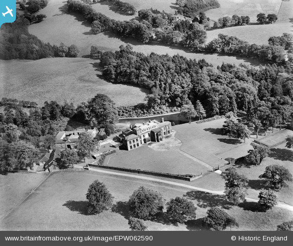
EPW062590 ENGLAND (1939). Swythamley Hall and grounds, Swythamley Hall, 1939
© Copyright OpenStreetMap contributors and licensed by the OpenStreetMap Foundation. 2025. Cartography is licensed as CC BY-SA.
Nearby Images (6)
EPW062590

EPW062591

EPW062588

EPW062589

EPW062584

EPW062586

Details
| Title | [EPW062590] Swythamley Hall and grounds, Swythamley Hall, 1939 |
| Reference | EPW062590 |
| Date | 10-August-1939 |
| Link | |
| Place name | SWYTHAMLEY HALL |
| Parish | HEATON |
| District | |
| Country | ENGLAND |
| Easting / Northing | 397330, 364549 |
| Longitude / Latitude | -2.0399533196405, 53.177751153231 |
| National Grid Reference | SJ973645 |
Pins

totoro |
Wednesday 4th of September 2013 09:36:30 AM |