
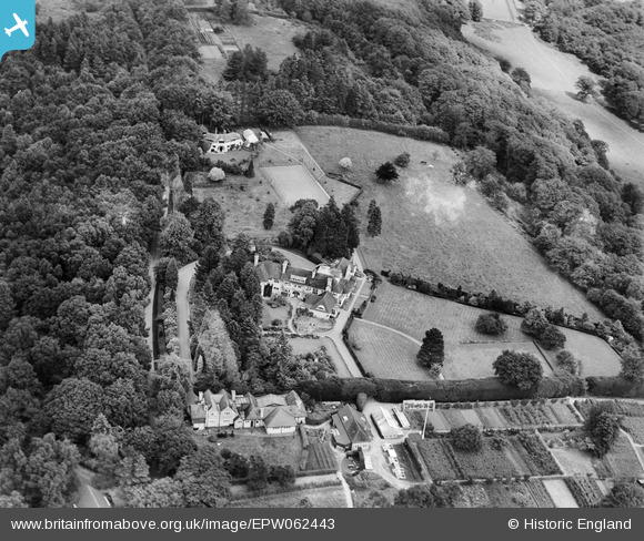
EPW062443 ENGLAND (1939). Rowallan on Farnham Lane, Haslemere, 1939. This image has been produced from a damaged negative.
© Copyright OpenStreetMap contributors and licensed by the OpenStreetMap Foundation. 2026. Cartography is licensed as CC BY-SA.
Nearby Images (6)
EPW062443

EPW062442

EPW062444

EPW062440

EPW062445

EPW062446

Details
| Title | [EPW062443] Rowallan on Farnham Lane, Haslemere, 1939. This image has been produced from a damaged negative. |
| Reference | EPW062443 |
| Date | 12-August-1939 |
| Link | |
| Place name | HASLEMERE |
| Parish | HASLEMERE |
| District | |
| Country | ENGLAND |
| Easting / Northing | 489216, 134284 |
| Longitude / Latitude | -0.72567054682558, 51.100380028904 |
| National Grid Reference | SU892343 |
Pins
Be the first to add a comment to this image!