
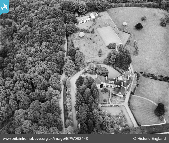
EPW062440 ENGLAND (1939). Rowallan on Farnham Lane, Haslemere, 1939
© Copyright OpenStreetMap contributors and licensed by the OpenStreetMap Foundation. 2026. Cartography is licensed as CC BY-SA.
Nearby Images (6)
EPW062440

EPW062444

EPW062442

EPW062443

EPW062445

EPW062446

Details
| Title | [EPW062440] Rowallan on Farnham Lane, Haslemere, 1939 |
| Reference | EPW062440 |
| Date | 12-August-1939 |
| Link | |
| Place name | HASLEMERE |
| Parish | HASLEMERE |
| District | |
| Country | ENGLAND |
| Easting / Northing | 489192, 134303 |
| Longitude / Latitude | -0.72600856764505, 51.100554591057 |
| National Grid Reference | SU892343 |
Pins
Be the first to add a comment to this image!