
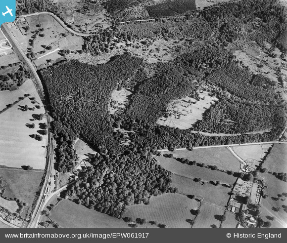
EPW061917 ENGLAND (1939). The Chase, Broad Layings, 1939
© Copyright OpenStreetMap contributors and licensed by the OpenStreetMap Foundation. 2026. Cartography is licensed as CC BY-SA.
Nearby Images (6)
EPW061917

EPW061915

EPW061918

EPW061921

EPW061916

EPW061919

Details
| Title | [EPW061917] The Chase, Broad Layings, 1939 |
| Reference | EPW061917 |
| Date | 10-June-1939 |
| Link | |
| Place name | BROAD LAYINGS |
| Parish | EAST WOODHAY |
| District | |
| Country | ENGLAND |
| Easting / Northing | 444195, 162905 |
| Longitude / Latitude | -1.3651390936724, 51.362990605589 |
| National Grid Reference | SU442629 |
Pins

Jody |
Thursday 26th of March 2026 10:55:35 AM |