
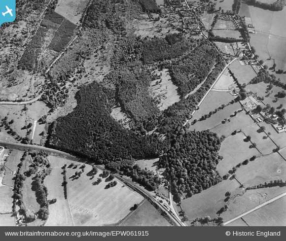
EPW061915 ENGLAND (1939). The Chase, Broad Layings, 1939
© Copyright OpenStreetMap contributors and licensed by the OpenStreetMap Foundation. 2026. Cartography is licensed as CC BY-SA.
Nearby Images (6)
EPW061915

EPW061917

EPW061918

EPW061921

EPW061919

EPW061916

Details
| Title | [EPW061915] The Chase, Broad Layings, 1939 |
| Reference | EPW061915 |
| Date | 10-June-1939 |
| Link | |
| Place name | BROAD LAYINGS |
| Parish | EAST WOODHAY |
| District | |
| Country | ENGLAND |
| Easting / Northing | 444249, 162911 |
| Longitude / Latitude | -1.3643626883654, 51.363040353113 |
| National Grid Reference | SU442629 |
Pins
Be the first to add a comment to this image!