
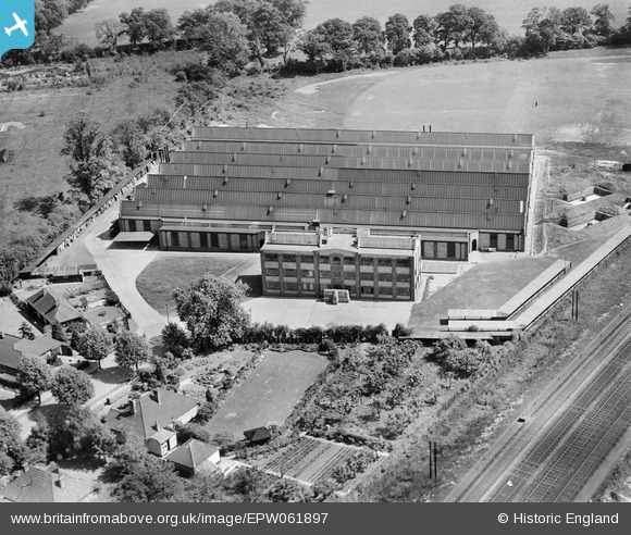
EPW061897 ENGLAND (1939). The Electrical Apparatus Co Ltd Works, St Albans, 1939
© Copyright OpenStreetMap contributors and licensed by the OpenStreetMap Foundation. 2026. Cartography is licensed as CC BY-SA.
Nearby Images (19)
EPW061897

EPW061900

EPW061895

EPW061892

EPW061899

EPW061896

EPW061890

EPW061898

EPW060976

EPW060980

EPW061901

EPW061894

EPW060974

EAW027916

EPW061893

EAW027915

EPW061889

EPW061891

EPW061888

Details
| Title | [EPW061897] The Electrical Apparatus Co Ltd Works, St Albans, 1939 |
| Reference | EPW061897 |
| Date | June-1939 |
| Link | |
| Place name | ST ALBANS |
| Parish | |
| District | |
| Country | ENGLAND |
| Easting / Northing | 516223, 205484 |
| Longitude / Latitude | -0.31671634269793, 51.735543660222 |
| National Grid Reference | TL162055 |
Pins

Matt Aldred edob.mattaldred.com |
Monday 11th of March 2024 03:18:32 PM | |
|
Matt Aldred edob.mattaldred.com |
Wednesday 9th of September 2020 09:30:31 PM |