
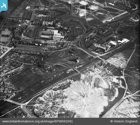
EPW061561 ENGLAND (1939). The Greengate Brick and Tile Works, Alexandra Colliery and the Ravenhead Works, St Helens, 1939
© Copyright OpenStreetMap contributors and licensed by the OpenStreetMap Foundation. 2026. Cartography is licensed as CC BY-SA.
Nearby Images (18)
EPW061561

EPW061560

EPW061586

EPW061587

EPW061585

EPW009301

EPW009297

EPW009300

EPW009296

EPW009299

EPW009298

EAW012375

EAW012376

EPW061582

EPW009307

EPW061589

EPW009304

EPW009303

Details
| Title | [EPW061561] The Greengate Brick and Tile Works, Alexandra Colliery and the Ravenhead Works, St Helens, 1939 |
| Reference | EPW061561 |
| Date | 4-June-1939 |
| Link | |
| Place name | ST HELENS |
| Parish | |
| District | |
| Country | ENGLAND |
| Easting / Northing | 350248, 394173 |
| Longitude / Latitude | -2.7490910881711, 53.441721608906 |
| National Grid Reference | SJ502942 |
Pins

Kitt Matt |
Saturday 24th of August 2024 04:17:01 AM | |

Ginger79 |
Tuesday 30th of April 2019 05:40:12 PM | |
|
vswift |
Sunday 19th of February 2017 03:08:25 AM | |
|
vswift |
Sunday 19th of February 2017 03:05:46 AM | |
|
vswift |
Sunday 19th of February 2017 03:04:33 AM | |
|
vswift |
Sunday 19th of February 2017 03:03:20 AM | |
|
vswift |
Sunday 19th of February 2017 03:02:00 AM | |
|
vswift |
Sunday 19th of February 2017 03:00:38 AM |