
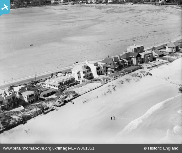
EPW061351 ENGLAND (1939). Houses along Banks Road, Sandbanks, 1939
© Copyright OpenStreetMap contributors and licensed by the OpenStreetMap Foundation. 2026. Cartography is licensed as CC BY-SA.
Nearby Images (12)
EPW061351

EPW061350

EPW061353

EPW061349

EPW061354

EPW061352

EPW061367

EPW061370

EPW061366

EPW061365

EPW061368

EPW061369

Details
| Title | [EPW061351] Houses along Banks Road, Sandbanks, 1939 |
| Reference | EPW061351 |
| Date | 4-June-1939 |
| Link | |
| Place name | SANDBANKS |
| Parish | |
| District | |
| Country | ENGLAND |
| Easting / Northing | 404728, 88000 |
| Longitude / Latitude | -1.9330575137496, 50.691053136663 |
| National Grid Reference | SZ047880 |
Pins
Be the first to add a comment to this image!