
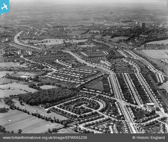
EPW061236 ENGLAND (1939). Whitton Avenue and environs, Horsenden Hill, from the south-east, 1939
© Copyright OpenStreetMap contributors and licensed by the OpenStreetMap Foundation. 2026. Cartography is licensed as CC BY-SA.
Nearby Images (4)
EPW061236

EPW035206

EPW035216

EPW035210

Details
| Title | [EPW061236] Whitton Avenue and environs, Horsenden Hill, from the south-east, 1939 |
| Reference | EPW061236 |
| Date | 26-May-1939 |
| Link | |
| Place name | HORSENDEN HILL |
| Parish | |
| District | |
| Country | ENGLAND |
| Easting / Northing | 516336, 184793 |
| Longitude / Latitude | -0.32196148793689, 51.54954097478 |
| National Grid Reference | TQ163848 |
Pins

john mcgovern |
Sunday 9th of October 2022 08:06:38 PM | |
|
john mcgovern |
Sunday 9th of October 2022 08:03:11 PM | |
|
john mcgovern |
Tuesday 9th of August 2022 07:37:24 PM | |

Des Elmes |
Friday 15th of April 2016 01:17:29 AM | |
|
Des Elmes |
Friday 15th of April 2016 01:14:31 AM | |
|
Des Elmes |
Friday 15th of April 2016 01:12:50 AM | |
|
Des Elmes |
Friday 15th of April 2016 01:10:49 AM | |
|
Des Elmes |
Friday 15th of April 2016 01:08:14 AM | |
|
Des Elmes |
Friday 15th of April 2016 01:04:20 AM | |
|
nickdrew |
Sunday 15th of March 2015 09:50:44 PM | |
|
Bayman1 |
Sunday 2nd of February 2014 05:09:14 PM | |
|
Martyn |
Tuesday 7th of January 2014 05:31:55 PM |