
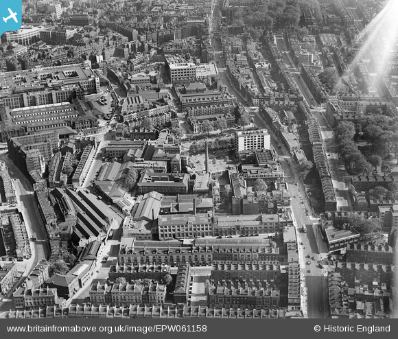
EPW061158 ENGLAND (1939). Gray's Inn Road and environs, St Pancras, 1939
© Copyright OpenStreetMap contributors and licensed by the OpenStreetMap Foundation. 2026. Cartography is licensed as CC BY-SA.
Nearby Images (13)
EPW061158

EAW011209

EAW011083

EPW061157

EPW061160

EPW061159

EPW061154

EPW061155

EPW061156

EAW011210

EPW035201
 and environs, Bloomsbury, 1931. This image has been produced from a damaged negative.")
EAW011082

EPW035202
 and environs, Bloomsbury, 1931")
Details
| Title | [EPW061158] Gray's Inn Road and environs, St Pancras, 1939 |
| Reference | EPW061158 |
| Date | 26-May-1939 |
| Link | |
| Place name | ST PANCRAS |
| Parish | |
| District | |
| Country | ENGLAND |
| Easting / Northing | 530779, 182457 |
| Longitude / Latitude | -0.11461735211439, 51.525382851915 |
| National Grid Reference | TQ308825 |
Pins

London1981 |
Friday 11th of October 2019 11:22:58 PM |