
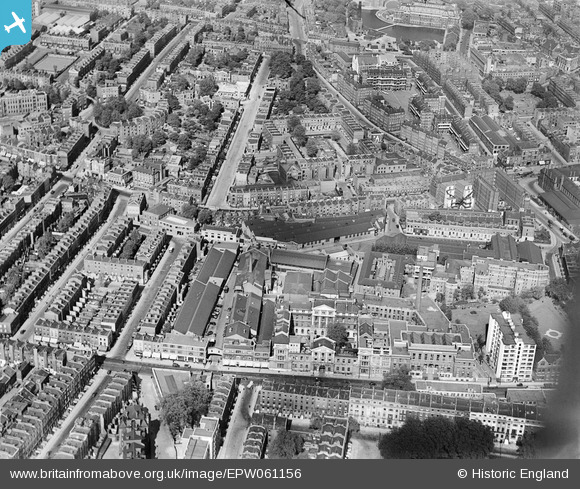
EPW061156 ENGLAND (1939). The Royal Free Hospital, Kelvinator Ltd Works and environs, St Pancras, 1939
© Copyright OpenStreetMap contributors and licensed by the OpenStreetMap Foundation. 2026. Cartography is licensed as CC BY-SA.
Nearby Images (11)
EPW061156

EPW061154

EPW061160

EPW061155

EPW061157

EPW061159

EAW011082

EPW061158

EAW011083

EAW011209

EAW011210

Details
| Title | [EPW061156] The Royal Free Hospital, Kelvinator Ltd Works and environs, St Pancras, 1939 |
| Reference | EPW061156 |
| Date | 26-May-1939 |
| Link | |
| Place name | ST PANCRAS |
| Parish | |
| District | |
| Country | ENGLAND |
| Easting / Northing | 530784, 182616 |
| Longitude / Latitude | -0.1144862679059, 51.526810721147 |
| National Grid Reference | TQ308826 |

