
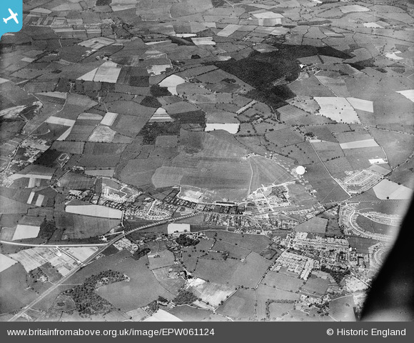
EPW061124 ENGLAND (1939). Hatfield Aerodrome and environs, Hatfield, 1939
© Copyright OpenStreetMap contributors and licensed by the OpenStreetMap Foundation. 2026. Cartography is licensed as CC BY-SA.
Nearby Images (2)
EPW061124

EPW042824

Details
| Title | [EPW061124] Hatfield Aerodrome and environs, Hatfield, 1939 |
| Reference | EPW061124 |
| Date | 30-May-1939 |
| Link | |
| Place name | HATFIELD |
| Parish | HATFIELD |
| District | |
| Country | ENGLAND |
| Easting / Northing | 520886, 208957 |
| Longitude / Latitude | -0.24800678289298, 51.76577224823 |
| National Grid Reference | TL209090 |
