
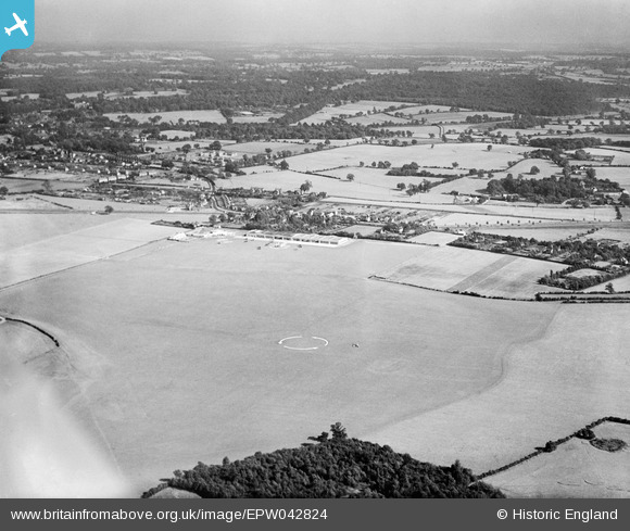
EPW042824 ENGLAND (1933). Hatfield Aerodrome and surrounding countryside, Hatfield, from the north-west, 1933
© Copyright OpenStreetMap contributors and licensed by the OpenStreetMap Foundation. 2026. Cartography is licensed as CC BY-SA.
Nearby Images (2)
EPW042824

EPW061124

Details
| Title | [EPW042824] Hatfield Aerodrome and surrounding countryside, Hatfield, from the north-west, 1933 |
| Reference | EPW042824 |
| Date | August-1933 |
| Link | |
| Place name | HATFIELD |
| Parish | HATFIELD |
| District | |
| Country | ENGLAND |
| Easting / Northing | 520810, 208936 |
| Longitude / Latitude | -0.24911499533443, 51.76559990904 |
| National Grid Reference | TL208089 |
Pins
Be the first to add a comment to this image!