
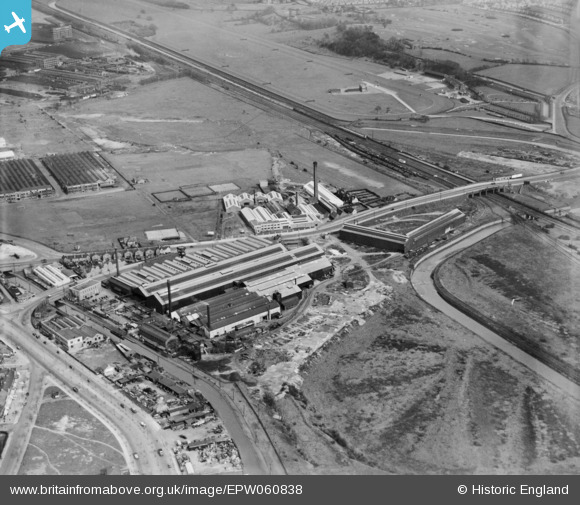
EPW060838 ENGLAND (1939). The Bromford Tube Co Works, Bromford, 1939
© Copyright OpenStreetMap contributors and licensed by the OpenStreetMap Foundation. 2026. Cartography is licensed as CC BY-SA.
Nearby Images (22)
EPW060838

EPW060842

EPW060839

EPW035903

EPW060843

EPW060841

EPW035904

EPW015255

EPW035899

EPW060845

EPW035906

EPW060840

EPW035905

EPW035900

EPW060849

EPW060846

EPW060844

EPW060847

EPW035902

EPW035907

EPW031996

EPW031995

Details
| Title | [EPW060838] The Bromford Tube Co Works, Bromford, 1939 |
| Reference | EPW060838 |
| Date | 25-April-1939 |
| Link | |
| Place name | BROMFORD |
| Parish | |
| District | |
| Country | ENGLAND |
| Easting / Northing | 411419, 289928 |
| Longitude / Latitude | -1.8317422120809, 52.506761356125 |
| National Grid Reference | SP114899 |
Pins

Martin |
Saturday 29th of November 2014 10:48:58 PM |