
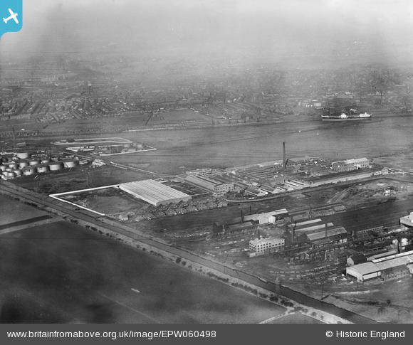
EPW060498 ENGLAND (1939). Turners Asbestos Cement Co Ltd and environs, Trafford Park, from the south-east, 1939
© Copyright OpenStreetMap contributors and licensed by the OpenStreetMap Foundation. 2026. Cartography is licensed as CC BY-SA.
Nearby Images (36)
EPW060498

EPW027482

EPW060495

EPW060422

EPW060421

EPW045040

EPW060494

EPW060418

EPW060420

EPW060496

EPW016585

EPW016585
EPW060500

EPW045044

EPW060499

EPW045047

EPW045046

EPW060417

EPW045045

EPW060419

EPW045041

EPW016586

EPW016586
EPW045042

EPW016583

EPW027469

EPW045043

EPW016582

EPW016582
EPW060497

EPW009607

EPW016584

EPW016587

EAW002525

EAW002526

EPW027481

Details
| Title | [EPW060498] Turners Asbestos Cement Co Ltd and environs, Trafford Park, from the south-east, 1939 |
| Reference | EPW060498 |
| Date | 9-February-1939 |
| Link | |
| Place name | TRAFFORD PARK |
| Parish | |
| District | |
| Country | ENGLAND |
| Easting / Northing | 377732, 397131 |
| Longitude / Latitude | -2.3355002886075, 53.470190191338 |
| National Grid Reference | SJ777971 |
Pins
Be the first to add a comment to this image!