
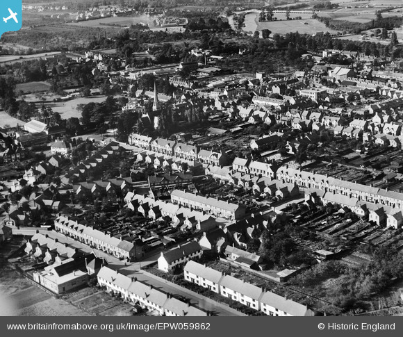
EPW059862 ENGLAND (1938). King's Road and environs, Bengeworth, 1938
© Copyright OpenStreetMap contributors and licensed by the OpenStreetMap Foundation. 2026. Cartography is licensed as CC BY-SA.
Nearby Images (2)
EPW059862

EPW023907

Details
| Title | [EPW059862] King's Road and environs, Bengeworth, 1938 |
| Reference | EPW059862 |
| Date | 6-October-1938 |
| Link | |
| Place name | BENGEWORTH |
| Parish | EVESHAM |
| District | |
| Country | ENGLAND |
| Easting / Northing | 404563, 243646 |
| Longitude / Latitude | -1.9333918053496, 52.090727543817 |
| National Grid Reference | SP046436 |
Pins

antwhitford |
Sunday 27th of October 2013 05:41:18 PM | |
|
ayshum1 |
Wednesday 14th of August 2013 09:25:55 PM |