
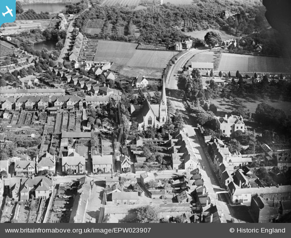
EPW023907 ENGLAND (1928). St Peter's Church and environs, Bengeworth, 1928
© Copyright OpenStreetMap contributors and licensed by the OpenStreetMap Foundation. 2026. Cartography is licensed as CC BY-SA.
Nearby Images (2)
EPW023907

EPW059862

Details
| Title | [EPW023907] St Peter's Church and environs, Bengeworth, 1928 |
| Reference | EPW023907 |
| Date | September-1928 |
| Link | |
| Place name | BENGEWORTH |
| Parish | EVESHAM |
| District | |
| Country | ENGLAND |
| Easting / Northing | 404483, 243560 |
| Longitude / Latitude | -1.9345607322966, 52.089954920524 |
| National Grid Reference | SP045436 |
Pins

ayshum1 |
Wednesday 14th of August 2013 09:21:53 PM | |
|
Leathalozman |
Sunday 27th of January 2013 10:30:04 PM | |
|
Leathalozman |
Sunday 27th of January 2013 10:26:36 PM |