
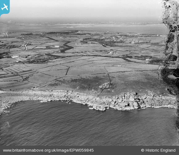
EPW059845 ENGLAND (1938). Salakee Down and the island beyond, St Mary's, from the south, 1938. This image has been produced from a damaged negative.
© Copyright OpenStreetMap contributors and licensed by the OpenStreetMap Foundation. 2026. Cartography is licensed as CC BY-SA.
Nearby Images (2)
EPW059845

EPW059631

Details
| Title | [EPW059845] Salakee Down and the island beyond, St Mary's, from the south, 1938. This image has been produced from a damaged negative. |
| Reference | EPW059845 |
| Date | 22-September-1938 |
| Link | |
| Place name | ST MARY'S |
| Parish | ST. MARY'S |
| District | |
| Country | ENGLAND |
| Easting / Northing | 91852, 10085 |
| Longitude / Latitude | -6.2928719616713, 49.91077388633 |
| National Grid Reference | SV919101 |
Pins

242_Cat |
Monday 8th of December 2014 10:00:30 AM |