
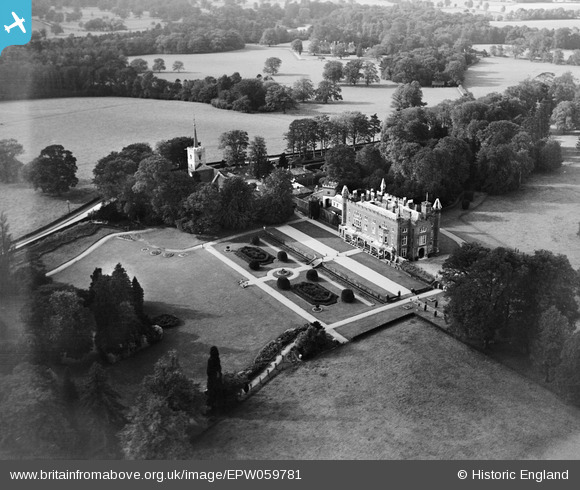
EPW059781 ENGLAND (1938). Hunsdon House, Hunsdon, 1938
© Copyright OpenStreetMap contributors and licensed by the OpenStreetMap Foundation. 2026. Cartography is licensed as CC BY-SA.
Nearby Images (6)
EPW059781

EPW059778

EPW059780

EPW059777

EPW059779

EPW059776

Details
| Title | [EPW059781] Hunsdon House, Hunsdon, 1938 |
| Reference | EPW059781 |
| Date | 6-October-1938 |
| Link | |
| Place name | HUNSDON |
| Parish | HUNSDON |
| District | |
| Country | ENGLAND |
| Easting / Northing | 541876, 212720 |
| Longitude / Latitude | 0.057542399117387, 51.794661976182 |
| National Grid Reference | TL419127 |
Pins
Be the first to add a comment to this image!