
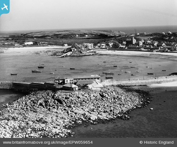
EPW059654 ENGLAND (1938). Rat Island, the Town Beach and Porth Mellon, St Mary's, from the north-west, 1938
© Copyright OpenStreetMap contributors and licensed by the OpenStreetMap Foundation. 2025. Cartography is licensed as CC BY-SA.
Nearby Images (4)
EPW059654

EPW059643

EPW059655

EPW059653

Details
| Title | [EPW059654] Rat Island, the Town Beach and Porth Mellon, St Mary's, from the north-west, 1938 |
| Reference | EPW059654 |
| Date | 15-September-1938 |
| Link | |
| Place name | ST MARY'S |
| Parish | ST. MARY'S |
| District | |
| Country | ENGLAND |
| Easting / Northing | 90120, 10898 |
| Longitude / Latitude | -6.317580842022, 49.917171342973 |
| National Grid Reference | SV901109 |
Pins
Be the first to add a comment to this image!