
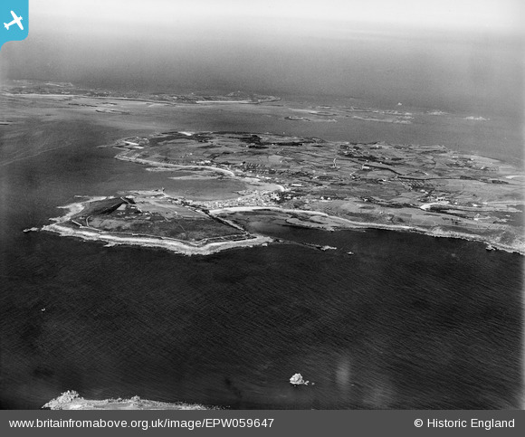
EPW059647 ENGLAND (1938). The Garrison, Porth Cressa and the Island, St Mary's, 1938
© Copyright OpenStreetMap contributors and licensed by the OpenStreetMap Foundation. 2025. Cartography is licensed as CC BY-SA.
Nearby Images (4)
EPW059647

EPW059645

EPW059651

EPW059850

Details
| Title | [EPW059647] The Garrison, Porth Cressa and the Island, St Mary's, 1938 |
| Reference | EPW059647 |
| Date | 15-September-1938 |
| Link | |
| Place name | ST MARY'S |
| Parish | ST. MARY'S |
| District | |
| Country | ENGLAND |
| Easting / Northing | 90489, 10420 |
| Longitude / Latitude | -6.3120718781092, 49.913075014375 |
| National Grid Reference | SV905104 |
Pins
Be the first to add a comment to this image!