
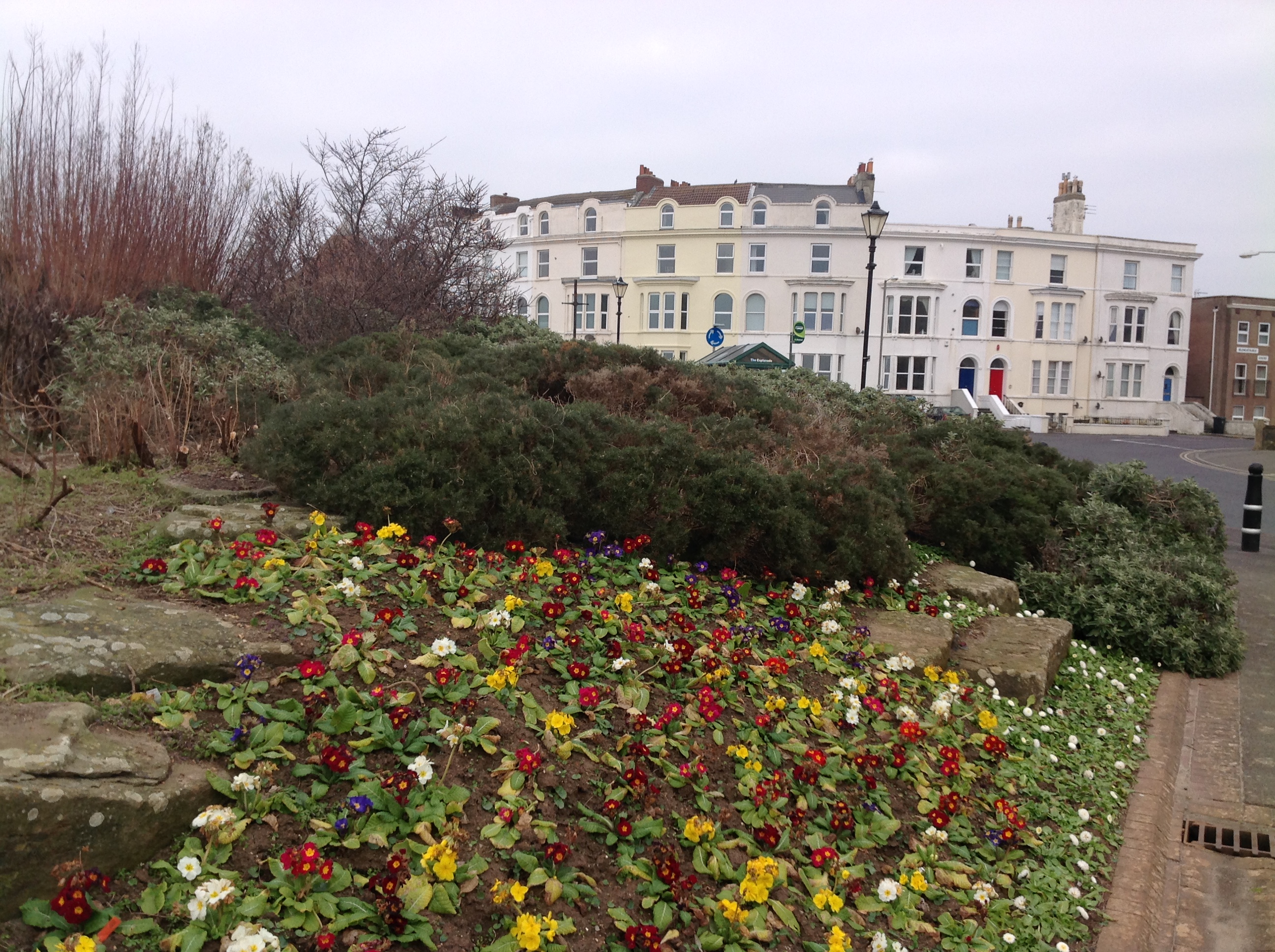
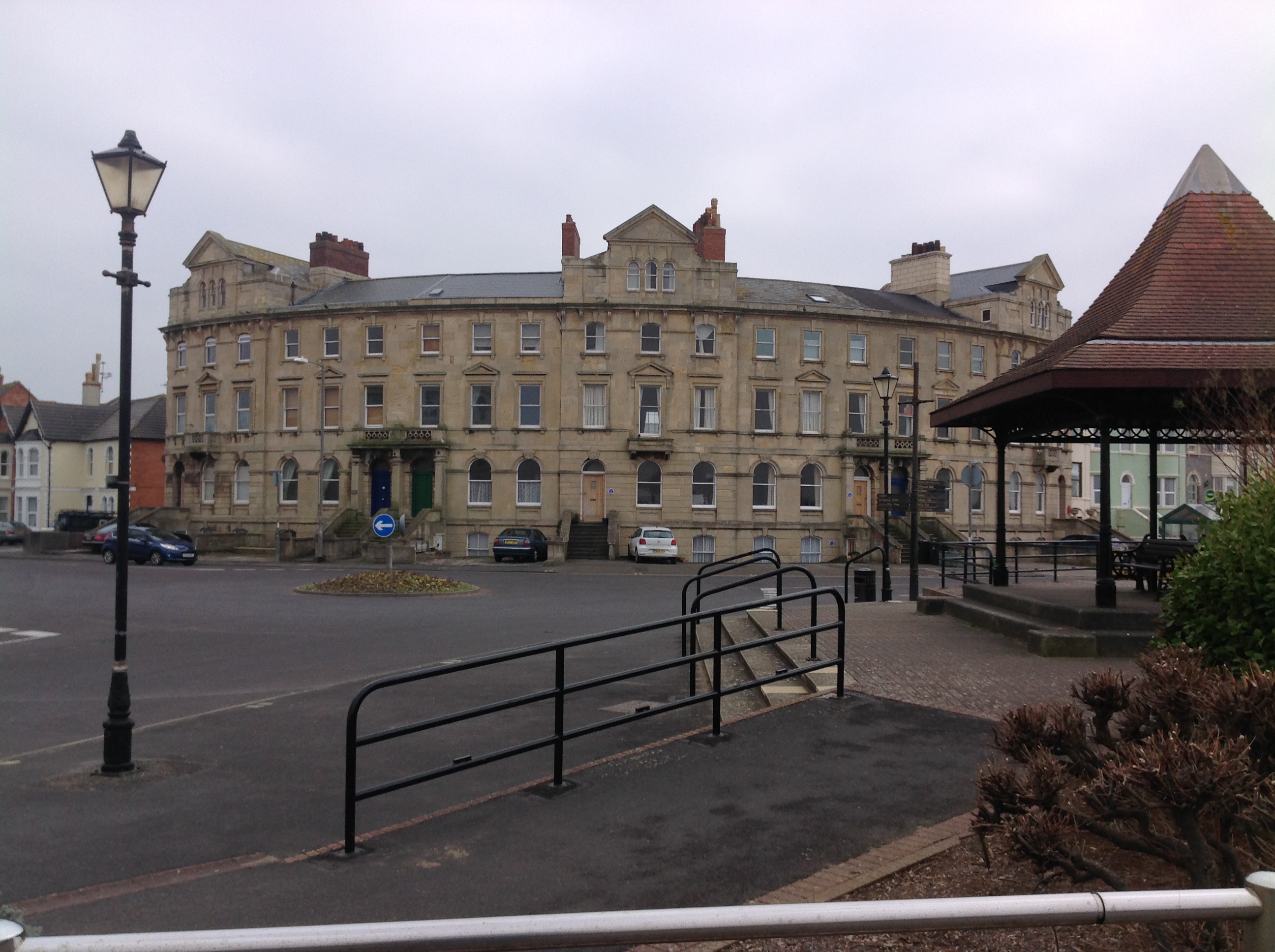
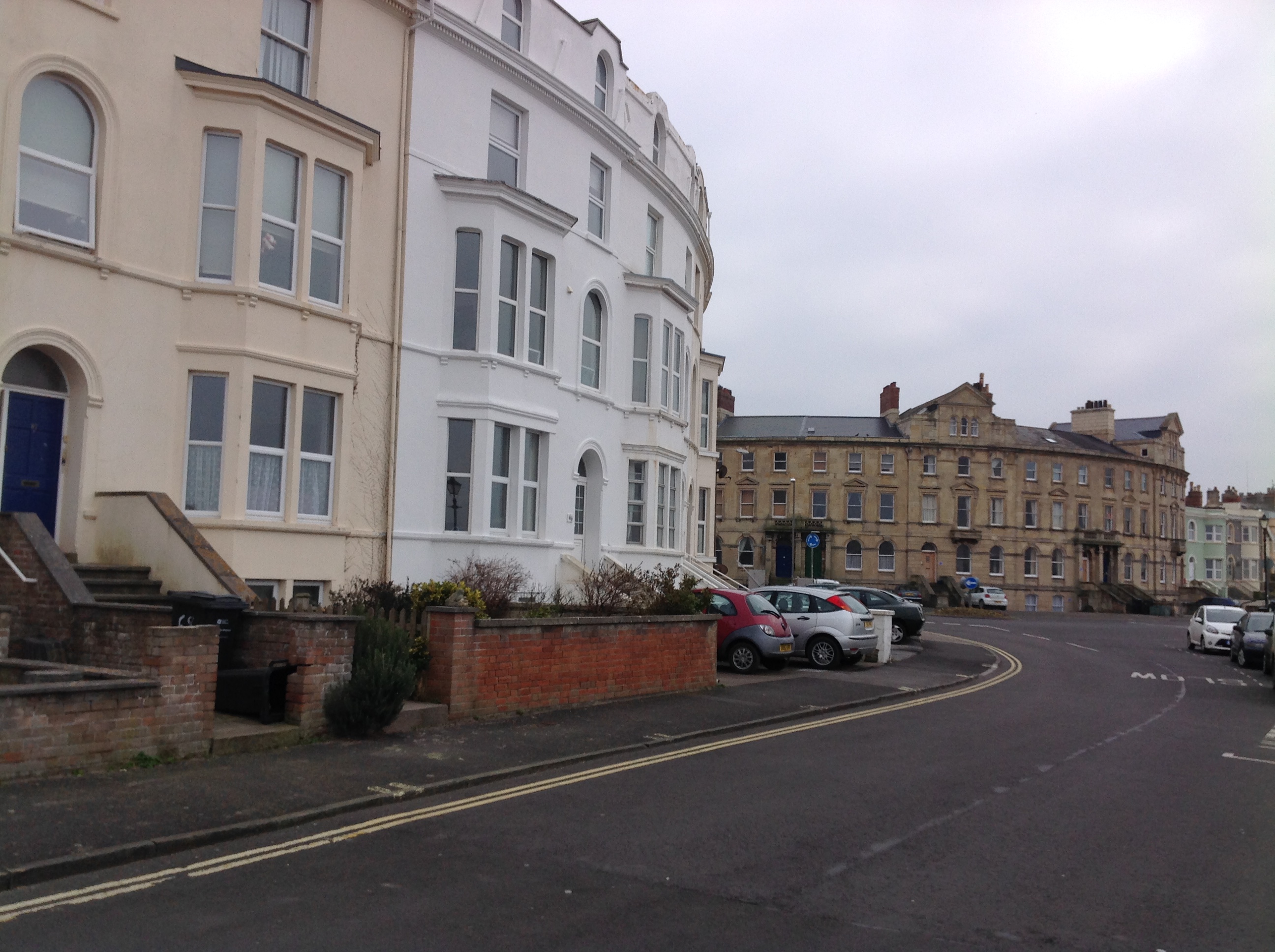
EPW059619 ENGLAND (1938). Sea View Road and the beach, Burnham-on-Sea, 1938

© Copyright OpenStreetMap contributors and licensed by the OpenStreetMap Foundation. 2026. Cartography is licensed as CC BY-SA.
Nearby Images (4)
EPW059619

EPW027971

EPW027965

EPW039925

Details
| Title | [EPW059619] Sea View Road and the beach, Burnham-on-Sea, 1938 |
| Reference | EPW059619 |
| Date | 24-September-1938 |
| Link | |
| Place name | BURNHAM-ON-SEA |
| Parish | BURNHAM-ON-SEA AND HIGHBRIDGE |
| District | |
| Country | ENGLAND |
| Easting / Northing | 330393, 149643 |
| Longitude / Latitude | -2.9972677414115, 51.241199712978 |
| National Grid Reference | ST304496 |
Pins

Class31 |
Thursday 12th of February 2015 08:50:36 PM |

User Comment Contributions

Sea View Road, Burnham-on-Sea, 10/02/2015 |
Class31 |
Thursday 12th of February 2015 08:49:02 PM |
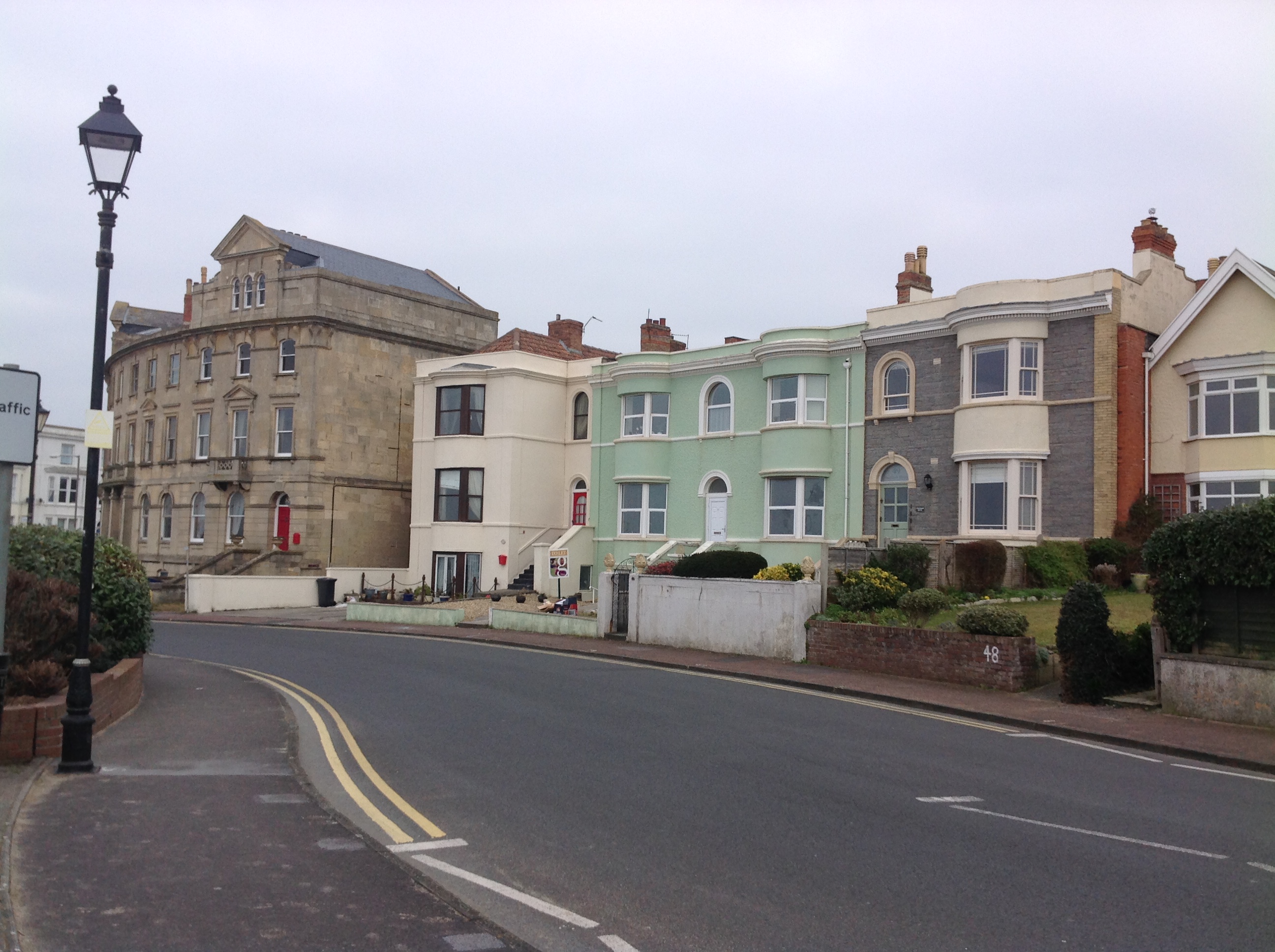
Sea View Road, Burnham-on-Sea, 10/02/2015 |
Class31 |
Thursday 12th of February 2015 08:48:25 PM |
Sea View Road, Burnham-on-Sea, 10/02/2015 |
Class31 |
Thursday 12th of February 2015 08:47:49 PM |

Sea View Road, Burnham-on-Sea, 10/02/2015 |
Class31 |
Thursday 12th of February 2015 08:47:04 PM |

Sea View Road, Burnham-on-Sea, 10/02/2015 |
Class31 |
Thursday 12th of February 2015 08:46:39 PM |

Sea View Road, Burnham-on-Sea, 10/02/2015 |
Class31 |
Thursday 12th of February 2015 08:46:11 PM |
Sea View Road, Burnham-on-Sea, 10/02/2015 |
Class31 |
Thursday 12th of February 2015 08:45:39 PM |
Sea View Road, Burnham-on-Sea, 10/02/2015 |
Class31 |
Thursday 12th of February 2015 08:45:07 PM |