
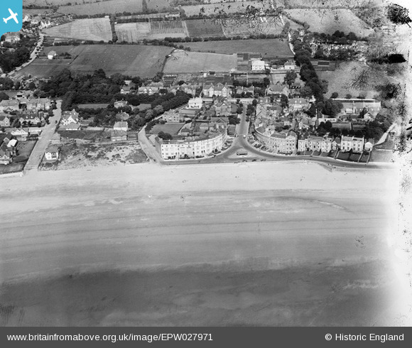
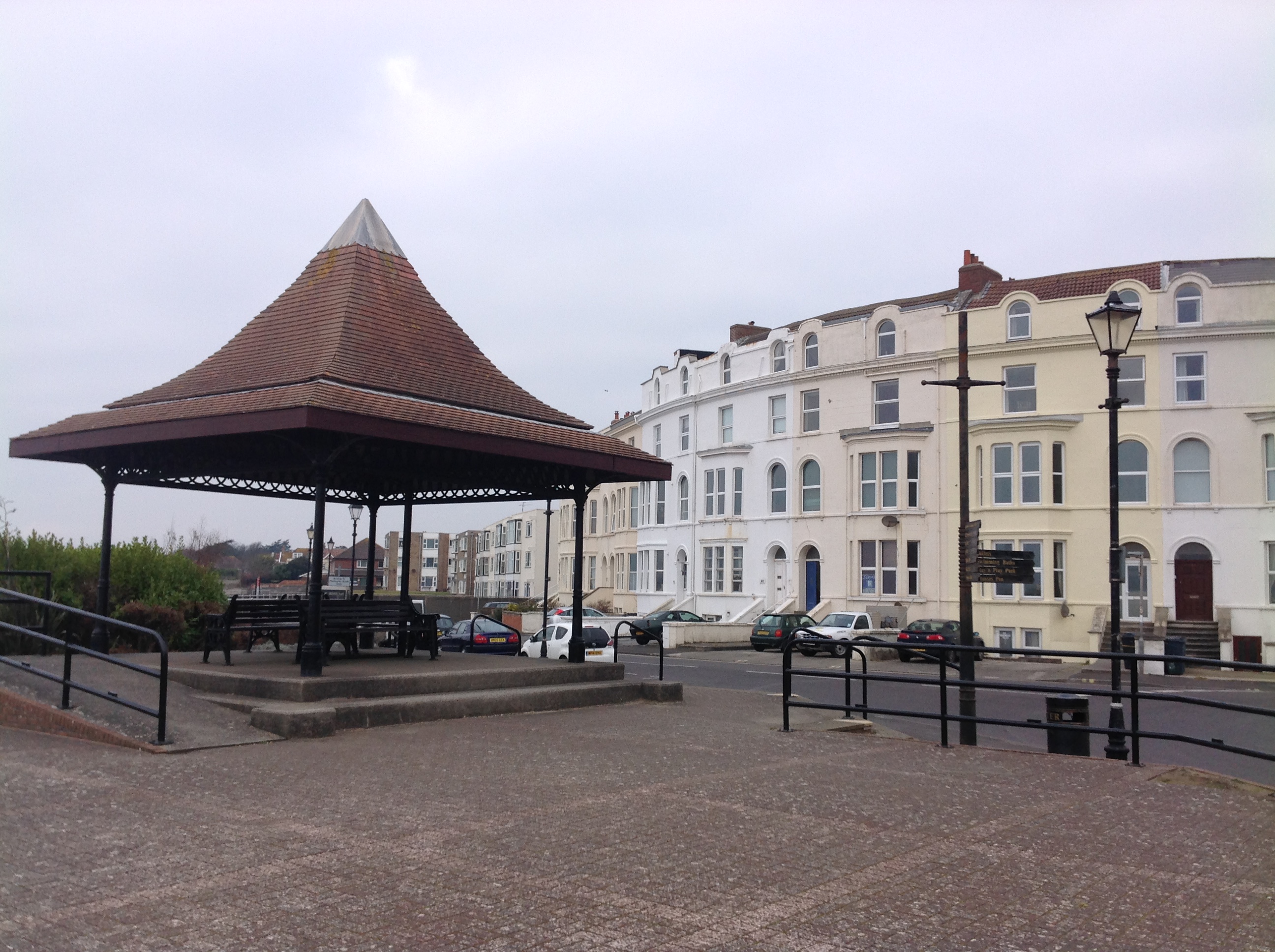
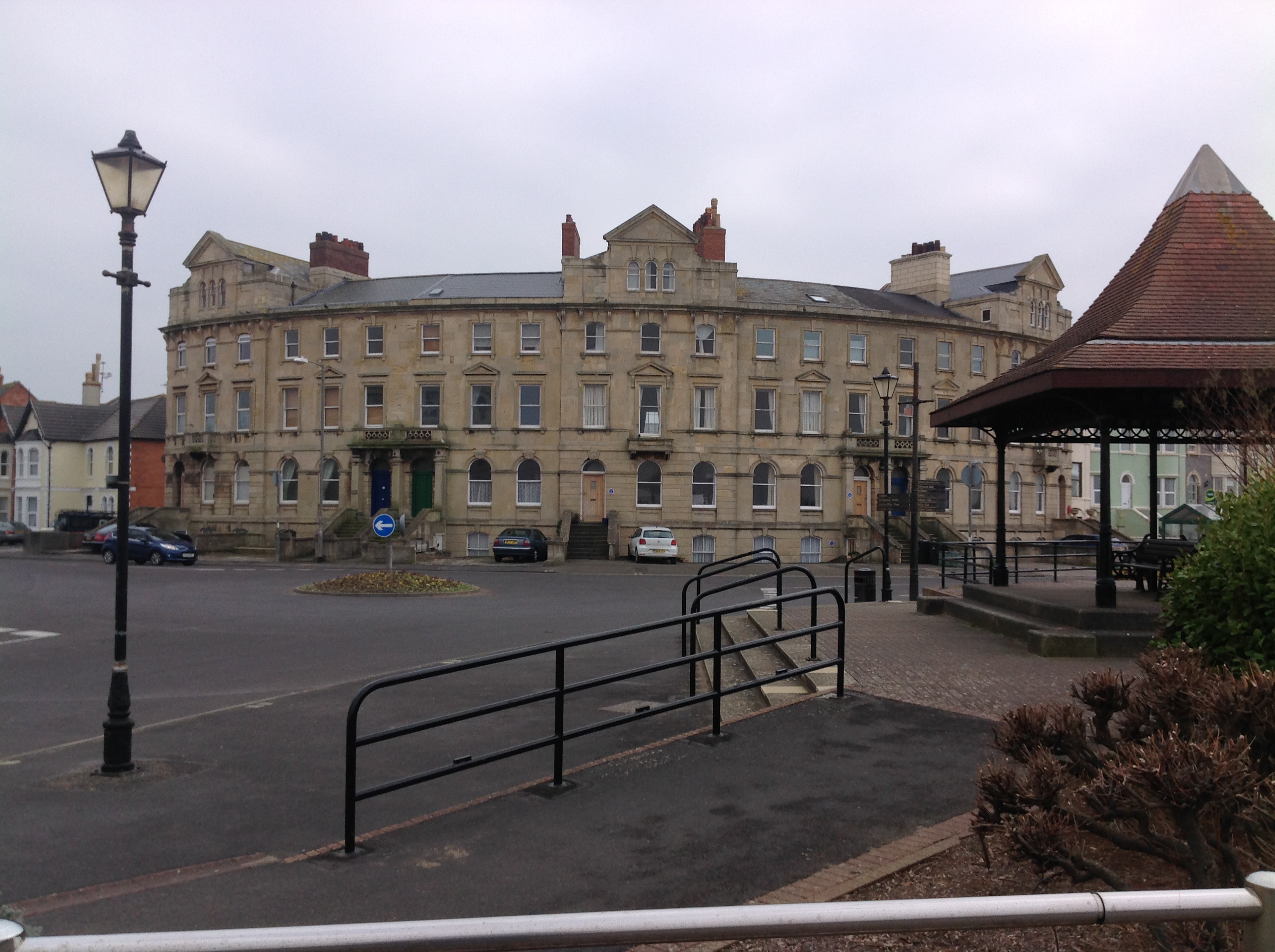
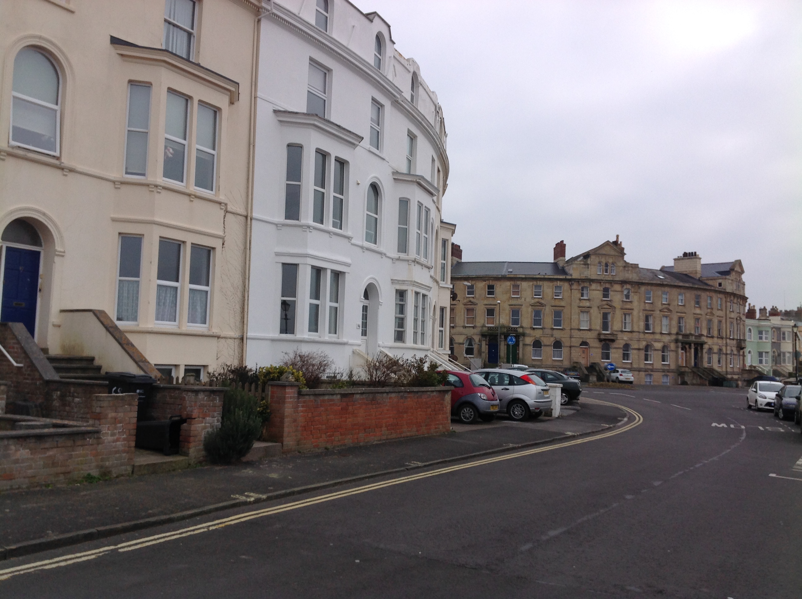
EPW027971 ENGLAND (1929). Sea View Road, Burnham-on-Sea, 1929
© Copyright OpenStreetMap contributors and licensed by the OpenStreetMap Foundation. 2026. Cartography is licensed as CC BY-SA.
Nearby Images (4)
EPW027971

EPW059619

EPW027965

EPW039925

Details
| Title | [EPW027971] Sea View Road, Burnham-on-Sea, 1929 |
| Reference | EPW027971 |
| Date | June-1929 |
| Link | |
| Place name | BURNHAM-ON-SEA |
| Parish | BURNHAM-ON-SEA AND HIGHBRIDGE |
| District | |
| Country | ENGLAND |
| Easting / Northing | 330348, 149639 |
| Longitude / Latitude | -2.9979115785988, 51.241158252715 |
| National Grid Reference | ST303496 |
Pins

H.E. |
Tuesday 15th of April 2025 02:24:14 PM | |
|
Cider son |
Thursday 27th of October 2016 01:57:26 PM | |
|
Cider son |
Thursday 27th of October 2016 01:56:34 PM | |
|
Cider son |
Thursday 27th of October 2016 01:55:30 PM | |
|
Cider son |
Thursday 27th of October 2016 01:53:13 PM | |

Class31 |
Tuesday 10th of February 2015 09:00:06 PM | |
|
Class31 |
Tuesday 10th of February 2015 08:56:16 PM | |
|
AnniePalitoy |
Tuesday 2nd of December 2014 03:46:16 PM |


User Comment Contributions
Sea View Road, Burnham-on-Sea, 10/02/2015 |
Class31 |
Tuesday 10th of February 2015 08:57:51 PM |
Sea View Road, Burnham-on-Sea, 10/02/2015 |
Class31 |
Tuesday 10th of February 2015 08:54:57 PM |
Sea View Road, Burnham-on-Sea, 10/02/2015 |
Class31 |
Tuesday 10th of February 2015 08:54:05 PM |
Sea View Road, Burnham-on-Sea, 10/02/2015 |
Class31 |
Tuesday 10th of February 2015 08:53:30 PM |
Sea View Road, Burnham-on-Sea, 10/02/2015 |
Class31 |
Tuesday 10th of February 2015 08:51:57 PM |
Sea View Road, Burnham-on-Sea, 10/02/2015 |
Class31 |
Tuesday 10th of February 2015 08:51:08 PM |