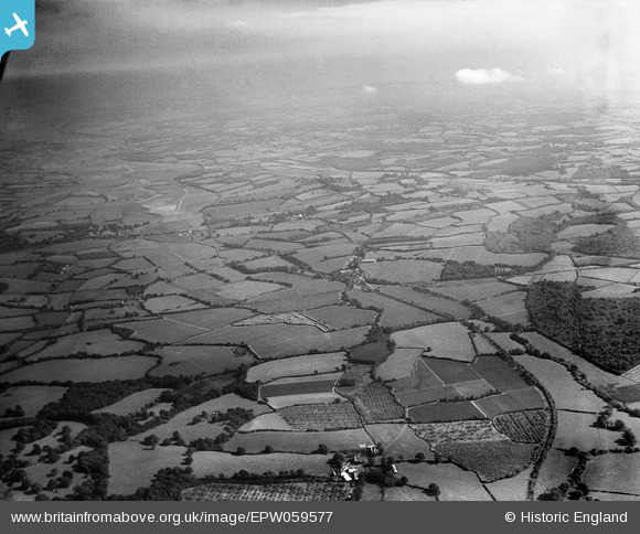
EPW059577 ENGLAND (1938). Countryside around Udiam and the River Rother, Bodiam, from the west, 1938
© Copyright OpenStreetMap contributors and licensed by the OpenStreetMap Foundation. 2026. Cartography is licensed as CC BY-SA.
Details
| Title | [EPW059577] Countryside around Udiam and the River Rother, Bodiam, from the west, 1938 |
| Reference | EPW059577 |
| Date | 23-September-1938 |
| Link | |
| Place name | BODIAM |
| Parish | BODIAM |
| District | |
| Country | ENGLAND |
| Easting / Northing | 576808, 124427 |
| Longitude / Latitude | 0.51967315229634, 50.991502488968 |
| National Grid Reference | TQ768244 |
Pins
Be the first to add a comment to this image!


![[EPW059577] Countryside around Udiam and the River Rother, Bodiam, from the west, 1938](http://britainfromabove.org.uk/sites/all/libraries/aerofilms-images/public/100x100/EPW/059/EPW059577.jpg)
![[EPW059257] The Rother Light Railway Line and surrounding countryside at Junction Road Halt, Udiam, 1938](http://britainfromabove.org.uk/sites/all/libraries/aerofilms-images/public/100x100/EPW/059/EPW059257.jpg)
![[EPW059579] Countryside around Udiam and the River Rother, Bodiam, from the west, 1938](http://britainfromabove.org.uk/sites/all/libraries/aerofilms-images/public/100x100/EPW/059/EPW059579.jpg)