
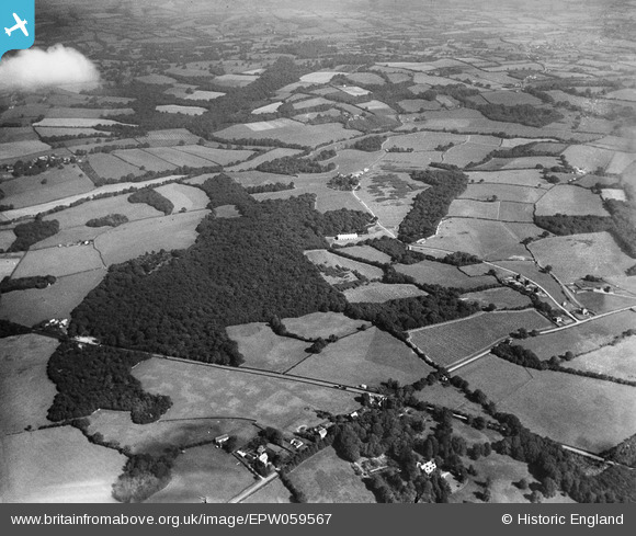
EPW059567 ENGLAND (1938). Hundred Acre Wood, Bodiam Wood and surrounding countryside, High Wigsell, from the south-west, 1938
© Copyright OpenStreetMap contributors and licensed by the OpenStreetMap Foundation. 2026. Cartography is licensed as CC BY-SA.
Nearby Images (2)
EPW059567

EPW059254

Details
| Title | [EPW059567] Hundred Acre Wood, Bodiam Wood and surrounding countryside, High Wigsell, from the south-west, 1938 |
| Reference | EPW059567 |
| Date | 23-September-1938 |
| Link | |
| Place name | HIGH WIGSELL |
| Parish | SALEHURST AND ROBERTSBRIDGE |
| District | |
| Country | ENGLAND |
| Easting / Northing | 576668, 126620 |
| Longitude / Latitude | 0.51874738661148, 51.011248668504 |
| National Grid Reference | TQ767266 |
Pins
Be the first to add a comment to this image!