
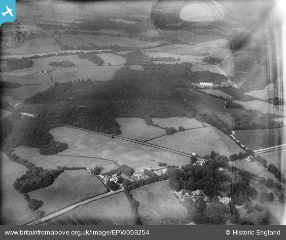
EPW059254 ENGLAND (1938). Hundred Acre Wood and environs, Salehurst, 1938
© Copyright OpenStreetMap contributors and licensed by the OpenStreetMap Foundation. 2026. Cartography is licensed as CC BY-SA.
Nearby Images (3)
EPW059254

EPW059567

EPW059253

Details
| Title | [EPW059254] Hundred Acre Wood and environs, Salehurst, 1938 |
| Reference | EPW059254 |
| Date | 11-September-1938 |
| Link | |
| Place name | SALEHURST |
| Parish | SALEHURST AND ROBERTSBRIDGE |
| District | |
| Country | ENGLAND |
| Easting / Northing | 576676, 126781 |
| Longitude / Latitude | 0.51893973138248, 51.012692725019 |
| National Grid Reference | TQ767268 |
Pins
Be the first to add a comment to this image!