
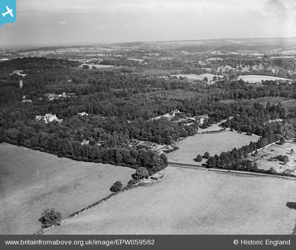
EPW059562 ENGLAND (1938). Stilemans and surrounding countryside, Munstead Heath, from the south-west, 1938
© Copyright OpenStreetMap contributors and licensed by the OpenStreetMap Foundation. 2026. Cartography is licensed as CC BY-SA.
Nearby Images (9)
EPW059562

EPW059561

EPW059234

EPW059560

EPW059559

EPW059563

EPW059228

EPW059229

EPW059233

Details
| Title | [EPW059562] Stilemans and surrounding countryside, Munstead Heath, from the south-west, 1938 |
| Reference | EPW059562 |
| Date | 23-September-1938 |
| Link | |
| Place name | MUNSTEAD HEATH |
| Parish | BUSBRIDGE |
| District | |
| Country | ENGLAND |
| Easting / Northing | 498640, 142009 |
| Longitude / Latitude | -0.58898756965862, 51.168286172772 |
| National Grid Reference | SU986420 |
Pins
Be the first to add a comment to this image!