
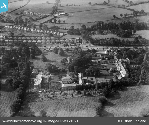
EPW059168 ENGLAND (1938). The Woodlands Royal Cripples Hospital (Royal Orthopaedic Hospital), Northfield, 1938
© Copyright OpenStreetMap contributors and licensed by the OpenStreetMap Foundation. 2026. Cartography is licensed as CC BY-SA.
Nearby Images (4)
EPW059168
, Northfield, 1938")
EPW059169
, Northfield, 1938")
EPW059166
, Northfield, 1938")
EPW059167
, Northfield, 1938")
Details
| Title | [EPW059168] The Woodlands Royal Cripples Hospital (Royal Orthopaedic Hospital), Northfield, 1938 |
| Reference | EPW059168 |
| Date | 8-September-1938 |
| Link | |
| Place name | NORTHFIELD |
| Parish | |
| District | |
| Country | ENGLAND |
| Easting / Northing | 402718, 280273 |
| Longitude / Latitude | -1.9600291616714, 52.420065787708 |
| National Grid Reference | SP027803 |
Pins

RichardC |
Tuesday 20th of December 2022 06:34:56 PM | |
|
Daffy |
Sunday 31st of August 2014 07:26:50 PM | |
|
prclarke |
Saturday 7th of June 2014 12:17:56 PM | |
|
Daffy |
Monday 2nd of June 2014 01:03:41 PM | |
|
Steve |
Sunday 9th of February 2014 10:28:50 AM | |
|
Steve |
Sunday 9th of February 2014 10:28:10 AM |
User Comment Contributions
Bristol Road (A38) / Whitehall Lane junction |
prclarke |
Saturday 7th of June 2014 12:16:32 PM |