
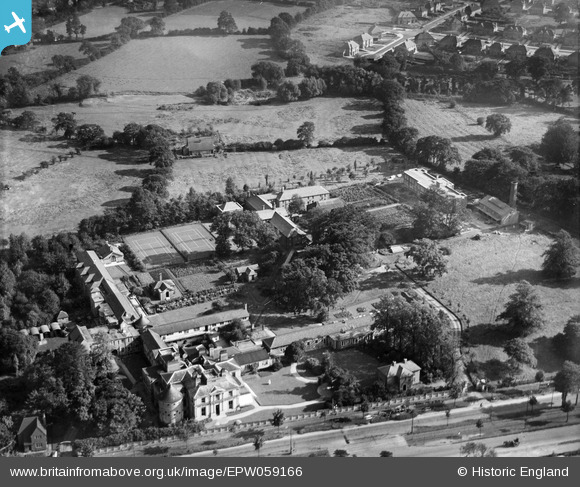
EPW059166 ENGLAND (1938). The Woodlands Royal Cripples Hospital (Royal Orthopaedic Hospital), Northfield, 1938
© Copyright OpenStreetMap contributors and licensed by the OpenStreetMap Foundation. 2026. Cartography is licensed as CC BY-SA.
Nearby Images (4)
EPW059166
, Northfield, 1938")
EPW059169
, Northfield, 1938")
EPW059167
, Northfield, 1938")
EPW059168
, Northfield, 1938")
Details
| Title | [EPW059166] The Woodlands Royal Cripples Hospital (Royal Orthopaedic Hospital), Northfield, 1938 |
| Reference | EPW059166 |
| Date | 8-September-1938 |
| Link | |
| Place name | NORTHFIELD |
| Parish | |
| District | |
| Country | ENGLAND |
| Easting / Northing | 402787, 280237 |
| Longitude / Latitude | -1.959014749843, 52.419741760873 |
| National Grid Reference | SP028802 |
