
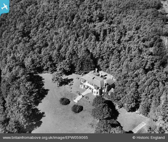
EPW059065 ENGLAND (1938). Franklin House, Ruislip, 1938
© Copyright OpenStreetMap contributors and licensed by the OpenStreetMap Foundation. 2026. Cartography is licensed as CC BY-SA.
Nearby Images (2)
EPW059065

EPW059066

Details
| Title | [EPW059065] Franklin House, Ruislip, 1938 |
| Reference | EPW059065 |
| Date | 2-September-1938 |
| Link | |
| Place name | RUISLIP |
| Parish | |
| District | |
| Country | ENGLAND |
| Easting / Northing | 508301, 189522 |
| Longitude / Latitude | -0.43635265835336, 51.59365001635 |
| National Grid Reference | TQ083895 |
Pins
Be the first to add a comment to this image!