
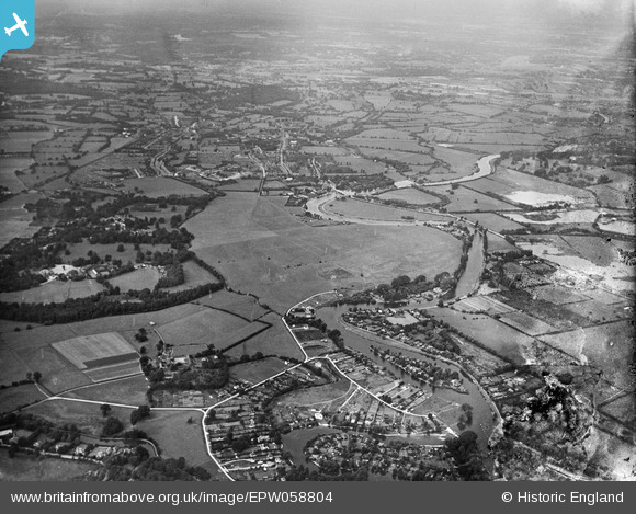
EPW058804 ENGLAND (1938). The Chertsey Meads and surroundings, Chertsey, 1938. This image has been produced from a damaged negative.
© Copyright OpenStreetMap contributors and licensed by the OpenStreetMap Foundation. 2026. Cartography is licensed as CC BY-SA.
Nearby Images (4)
EPW058804

EPW049234

EPW049231

EPW049232

Details
| Title | [EPW058804] The Chertsey Meads and surroundings, Chertsey, 1938. This image has been produced from a damaged negative. |
| Reference | EPW058804 |
| Date | 24-August-1938 |
| Link | |
| Place name | CHERTSEY |
| Parish | |
| District | |
| Country | ENGLAND |
| Easting / Northing | 505736, 166205 |
| Longitude / Latitude | -0.48035759382991, 51.384532880327 |
| National Grid Reference | TQ057662 |
Pins

bumblee |
Tuesday 22nd of October 2013 03:52:23 PM | |
|
bumblee |
Thursday 26th of September 2013 04:08:59 PM | |
|
bumblee |
Thursday 26th of September 2013 04:05:04 PM | |
|
bumblee |
Thursday 26th of September 2013 04:03:44 PM |
User Comment Contributions
hamhaugh island shepperton |
bumblee |
Thursday 26th of September 2013 04:08:10 PM |