
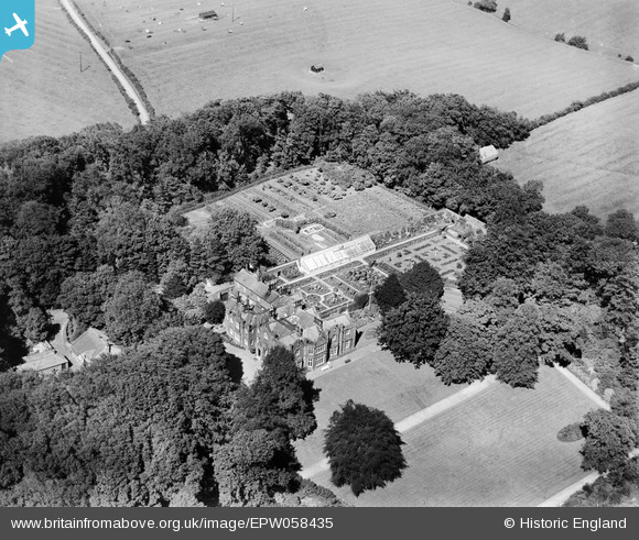
EPW058435 ENGLAND (1938). Clifton Hall, Clifton, 1938
© Copyright OpenStreetMap contributors and licensed by the OpenStreetMap Foundation. 2025. Cartography is licensed as CC BY-SA.
Nearby Images (8)
EPW058435

EPW058431

EPW058434

EPW058432

EPW058433

EPW058430

EPW058436

EPW058429

Details
| Title | [EPW058435] Clifton Hall, Clifton, 1938 |
| Reference | EPW058435 |
| Date | 26-July-1938 |
| Link | |
| Place name | CLIFTON |
| Parish | NEWTON-WITH-CLIFTON |
| District | |
| Country | ENGLAND |
| Easting / Northing | 347017, 430390 |
| Longitude / Latitude | -2.8038918021068, 53.76694051218 |
| National Grid Reference | SD470304 |
Pins

totoro |
Saturday 9th of November 2013 12:34:23 PM |