
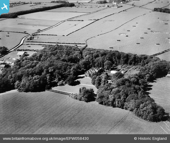
EPW058430 ENGLAND (1938). Clifton Hall, Clifton, 1938
© Copyright OpenStreetMap contributors and licensed by the OpenStreetMap Foundation. 2025. Cartography is licensed as CC BY-SA.
Nearby Images (8)
EPW058430

EPW058429

EPW058432

EPW058434

EPW058431

EPW058433

EPW058436

EPW058435

Details
| Title | [EPW058430] Clifton Hall, Clifton, 1938 |
| Reference | EPW058430 |
| Date | 26-July-1938 |
| Link | |
| Place name | CLIFTON |
| Parish | NEWTON-WITH-CLIFTON |
| District | |
| Country | ENGLAND |
| Easting / Northing | 346960, 430368 |
| Longitude / Latitude | -2.8047527669421, 53.766736970728 |
| National Grid Reference | SD470304 |
Pins

totoro |
Saturday 9th of November 2013 12:54:48 PM | |
|
totoro |
Saturday 9th of November 2013 12:41:48 PM | |
|
totoro |
Saturday 9th of November 2013 12:40:40 PM | |
|
totoro |
Saturday 9th of November 2013 12:39:28 PM | |
|
totoro |
Saturday 9th of November 2013 12:38:56 PM | |
|
totoro |
Saturday 9th of November 2013 12:38:42 PM |