
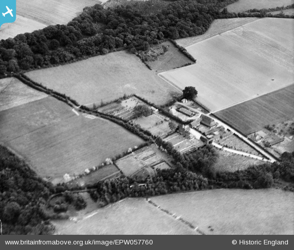
EPW057760 ENGLAND (1938). Hillend Farm, Sherborne St John, 1938
© Copyright OpenStreetMap contributors and licensed by the OpenStreetMap Foundation. 2026. Cartography is licensed as CC BY-SA.
Nearby Images (9)
EPW057760

EPW057759

EPW057765

EPW057763

EPW057761

EPW057757

EPW057764

EPW057768

EPW057762

Details
| Title | [EPW057760] Hillend Farm, Sherborne St John, 1938 |
| Reference | EPW057760 |
| Date | 26-June-1938 |
| Link | |
| Place name | SHERBORNE ST JOHN |
| Parish | SHERBORNE ST. JOHN |
| District | |
| Country | ENGLAND |
| Easting / Northing | 462429, 157925 |
| Longitude / Latitude | -1.1041105973637, 51.316500299709 |
| National Grid Reference | SU624579 |
Pins

totoro |
Thursday 7th of November 2013 07:01:39 PM |