
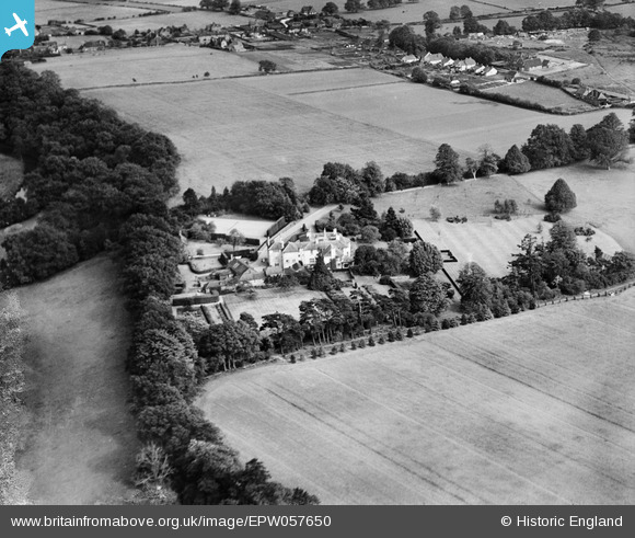
EPW057650 ENGLAND (1938). Rotherhill House, Stedham, 1938. This image has been produced from a damaged negative.
© Copyright OpenStreetMap contributors and licensed by the OpenStreetMap Foundation. 2026. Cartography is licensed as CC BY-SA.
Nearby Images (7)
EPW057650

EPW057648

EPW057647

EPW057644

EPW057646

EPW057645

EPW057649

Details
| Title | [EPW057650] Rotherhill House, Stedham, 1938. This image has been produced from a damaged negative. |
| Reference | EPW057650 |
| Date | 21-June-1938 |
| Link | |
| Place name | STEDHAM |
| Parish | STEDHAM WITH IPING |
| District | |
| Country | ENGLAND |
| Easting / Northing | 485615, 122597 |
| Longitude / Latitude | -0.77985748778821, 50.995849579181 |
| National Grid Reference | SU856226 |
Pins
Be the first to add a comment to this image!