
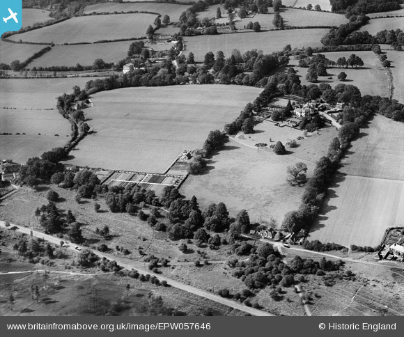
EPW057646 ENGLAND (1938). Rotherhill House and the surrounding countryside, Stedham, 1938
© Copyright OpenStreetMap contributors and licensed by the OpenStreetMap Foundation. 2026. Cartography is licensed as CC BY-SA.
Nearby Images (7)
EPW057646

EPW057645

EPW057649

EPW057648

EPW057650

EPW057647

EPW057644

Details
| Title | [EPW057646] Rotherhill House and the surrounding countryside, Stedham, 1938 |
| Reference | EPW057646 |
| Date | 21-June-1938 |
| Link | |
| Place name | STEDHAM |
| Parish | STEDHAM WITH IPING |
| District | |
| Country | ENGLAND |
| Easting / Northing | 485539, 122414 |
| Longitude / Latitude | -0.7809834549831, 50.994215486031 |
| National Grid Reference | SU855224 |
Pins
Be the first to add a comment to this image!