
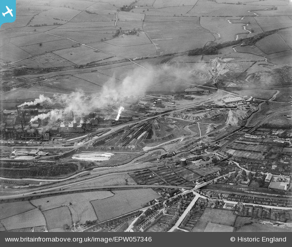
EPW057346 ENGLAND (1938). The Staveley Coal and Iron Company Ltd Works and the edge of the town, Staveley, 1938
© Copyright OpenStreetMap contributors and licensed by the OpenStreetMap Foundation. 2026. Cartography is licensed as CC BY-SA.
Nearby Images (14)
EPW057346

EAW044346

EAW009690

EPW057347

EPW057339

EAW003067

EAW003065

EAW003071

EPW041675

EAW003070

EPW041674

EAW003064

EAW009691

EPW041680

Details
| Title | [EPW057346] The Staveley Coal and Iron Company Ltd Works and the edge of the town, Staveley, 1938 |
| Reference | EPW057346 |
| Date | 3-June-1938 |
| Link | |
| Place name | STAVELEY |
| Parish | STAVELEY |
| District | |
| Country | ENGLAND |
| Easting / Northing | 442755, 374994 |
| Longitude / Latitude | -1.3588440741545, 53.269933510988 |
| National Grid Reference | SK428750 |
Pins
Be the first to add a comment to this image!