
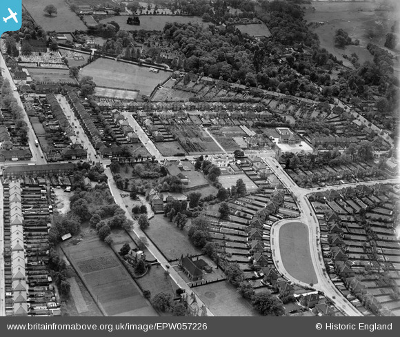
EPW057226 ENGLAND (1938). Shirley Avenue, Wickham Road and environs, Shirley, 1938
© Copyright OpenStreetMap contributors and licensed by the OpenStreetMap Foundation. 2026. Cartography is licensed as CC BY-SA.
Nearby Images (9)
EPW057226

EPW057221

EPW057225

EPW057222

EPW057224

EPW057220

EPW057223

EPW057218

EPW057219

Details
| Title | [EPW057226] Shirley Avenue, Wickham Road and environs, Shirley, 1938 |
| Reference | EPW057226 |
| Date | 26-May-1938 |
| Link | |
| Place name | SHIRLEY |
| Parish | |
| District | |
| Country | ENGLAND |
| Easting / Northing | 535642, 165709 |
| Longitude / Latitude | -0.050974391458389, 51.373715257551 |
| National Grid Reference | TQ356657 |
Pins

Paul Wendon |
Tuesday 16th of February 2021 09:33:20 PM |