
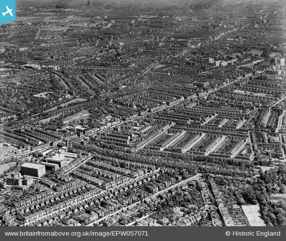
EPW057071 ENGLAND (1938). The High Road and environs, Chiswick, from the south-west, 1938
© Copyright OpenStreetMap contributors and licensed by the OpenStreetMap Foundation. 2026. Cartography is licensed as CC BY-SA.
Nearby Images (11)
EPW057071

EPW025307

EPW025305

EPW025308

EPW025026

EPW025025

EPR000471

EPW025309

EPW025306

EPW025027

EPW059938

Details
| Title | [EPW057071] The High Road and environs, Chiswick, from the south-west, 1938 |
| Reference | EPW057071 |
| Date | 12-May-1938 |
| Link | |
| Place name | CHISWICK |
| Parish | |
| District | |
| Country | ENGLAND |
| Easting / Northing | 520871, 178230 |
| Longitude / Latitude | -0.25883184297813, 51.489597225599 |
| National Grid Reference | TQ209782 |
Pins

martinmj |
Monday 11th of July 2022 09:19:39 AM | |
|
martinmj |
Monday 11th of July 2022 09:15:30 AM | |
|
martinmj |
Monday 11th of July 2022 09:10:52 AM | |

Class31 |
Tuesday 26th of May 2015 09:03:38 PM | |
|
Class31 |
Tuesday 26th of May 2015 09:02:29 PM | |
At the time of the photograph, this was still the A4 |
Isleworth1961 |
Saturday 22nd of July 2017 09:44:58 PM |
|
Wordy |
Monday 5th of May 2014 05:34:56 PM | |
|
Wordy |
Monday 5th of May 2014 05:33:41 PM | |
|
Wordy |
Monday 5th of May 2014 05:32:15 PM | |
|
Isleworth1961 |
Wednesday 25th of September 2013 01:40:09 PM |

