
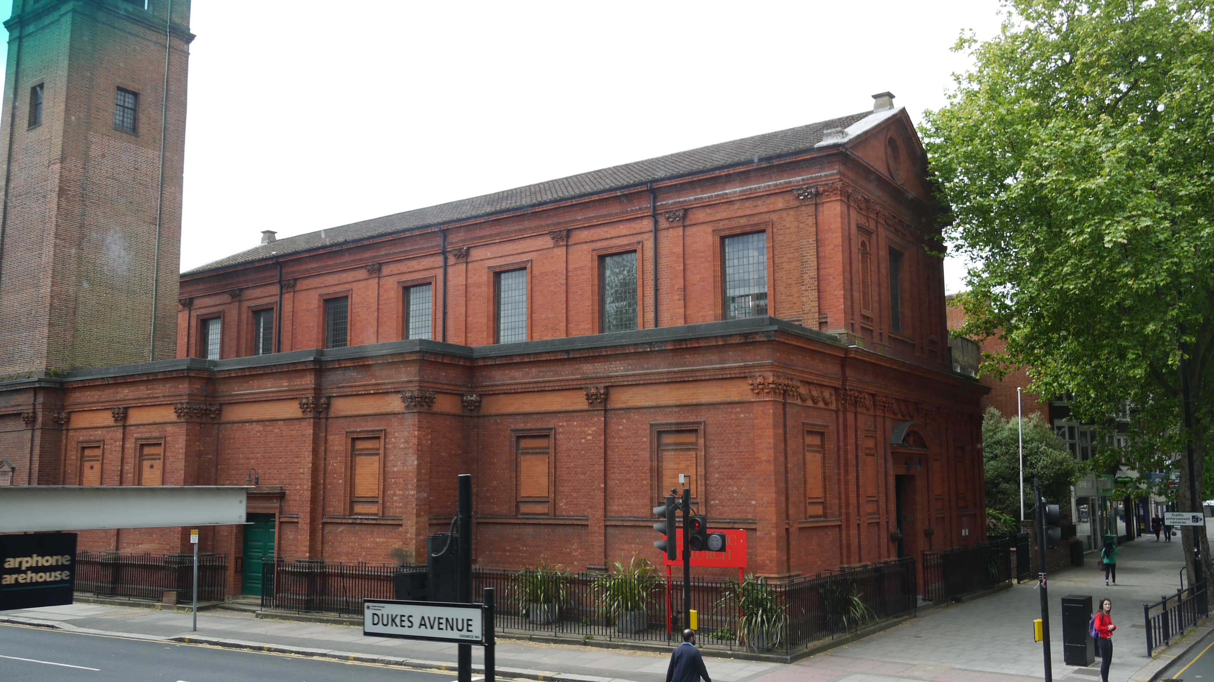
EPR000471 ENGLAND (1935). Chiswick high Road, Chiswick, 1935

© Copyright OpenStreetMap contributors and licensed by the OpenStreetMap Foundation. 2026. Cartography is licensed as CC BY-SA.
Nearby Images (10)
EPR000471

EPW025307

EPW025026

EPW025308

EPW025025

EPW057071

EPW025309

EPW025305

EPW025027

EPW025306

Details
| Title | [EPR000471] Chiswick high Road, Chiswick, 1935 |
| Reference | EPR000471 |
| Date | 21-March-1935 |
| Link | |
| Place name | CHISWICK |
| Parish | |
| District | |
| Country | ENGLAND |
| Easting / Northing | 520977, 178425 |
| Longitude / Latitude | -0.25723880781522, 51.491327282346 |
| National Grid Reference | TQ210784 |
Pins

martinmj |
Monday 11th of July 2022 09:23:29 AM | |
|
Jonmel |
Sunday 1st of March 2020 12:51:57 AM | |
 |
Leslie B |
Friday 4th of March 2016 11:56:55 PM |

Class31 |
Tuesday 26th of May 2015 09:01:04 PM | |
|
Class31 |
Tuesday 26th of May 2015 08:59:23 PM | |
|
nkingdon |
Wednesday 29th of October 2014 09:07:49 AM | |
|
nkingdon |
Wednesday 29th of October 2014 09:04:50 AM | |
|
nkingdon |
Wednesday 29th of October 2014 08:53:58 AM | |
|
nkingdon |
Wednesday 29th of October 2014 08:52:12 AM | |
|
nkingdon |
Wednesday 29th of October 2014 08:51:04 AM | |
|
nkingdon |
Wednesday 29th of October 2014 08:46:09 AM | |
Turnham Green station. The green itself is out of shot in the foreground. |
Isleworth1961 |
Saturday 22nd of November 2014 03:08:30 PM |


User Comment Contributions
Church Of Our Lady Of Grace & St Edward, Chiswick High Road, A315, 25/05/2015 |
Class31 |
Tuesday 26th of May 2015 07:34:39 PM |