
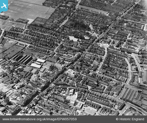
EPW057059 ENGLAND (1938). Spital Street and environs, Dartford, 1938
© Copyright OpenStreetMap contributors and licensed by the OpenStreetMap Foundation. 2026. Cartography is licensed as CC BY-SA.
Nearby Images (9)
EPW057059

EPW028229

EPW045633

EPW045632

EPW057058

EPW028231

EPW061014

EPW028236

EPW021978

Details
| Title | [EPW057059] Spital Street and environs, Dartford, 1938 |
| Reference | EPW057059 |
| Date | 12-May-1938 |
| Link | |
| Place name | DARTFORD |
| Parish | |
| District | |
| Country | ENGLAND |
| Easting / Northing | 553948, 174086 |
| Longitude / Latitude | 0.2155009727456, 51.444321777129 |
| National Grid Reference | TQ539741 |
Pins

Chiltern View |
Saturday 6th of August 2016 09:27:26 PM |