
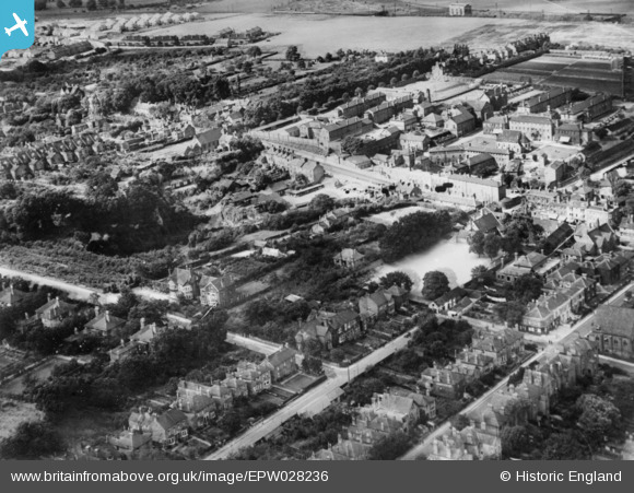
EPW028236 ENGLAND (1929). West Hill and environs, Dartford, 1929. This image has been produced from a copy-negative.
© Copyright OpenStreetMap contributors and licensed by the OpenStreetMap Foundation. 2026. Cartography is licensed as CC BY-SA.
Nearby Images (3)
EPW028236

EPW057060

EPW057059

Details
| Title | [EPW028236] West Hill and environs, Dartford, 1929. This image has been produced from a copy-negative. |
| Reference | EPW028236 |
| Date | 10-August-1929 |
| Link | |
| Place name | DARTFORD |
| Parish | |
| District | |
| Country | ENGLAND |
| Easting / Northing | 553716, 174061 |
| Longitude / Latitude | 0.21215402511969, 51.444160152565 |
| National Grid Reference | TQ537741 |
Pins
Be the first to add a comment to this image!