
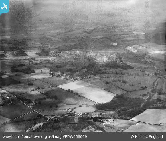
EPW056969 ENGLAND (1938). Dunbridge and the countryside around Mottisfont Abbey, Mottisfont, from the south-west, 1938. This image has been produced from a damaged negative.
© Copyright OpenStreetMap contributors and licensed by the OpenStreetMap Foundation. 2026. Cartography is licensed as CC BY-SA.
Nearby Images (3)
EPW056969

EPW056964

EPW056965

Details
| Title | [EPW056969] Dunbridge and the countryside around Mottisfont Abbey, Mottisfont, from the south-west, 1938. This image has been produced from a damaged negative. |
| Reference | EPW056969 |
| Date | 26-April-1938 |
| Link | |
| Place name | MOTTISFONT |
| Parish | MOTTISFONT |
| District | |
| Country | ENGLAND |
| Easting / Northing | 432130, 126250 |
| Longitude / Latitude | -1.5417277314841, 51.034174788738 |
| National Grid Reference | SU321263 |
Pins
Be the first to add a comment to this image!