
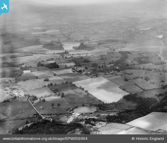
EPW056964 ENGLAND (1938). Dunbridge and the countryside around Mottisfont Abbey, Mottisfont, from the south-west, 1938
© Copyright OpenStreetMap contributors and licensed by the OpenStreetMap Foundation. 2026. Cartography is licensed as CC BY-SA.
Nearby Images (3)
EPW056964

EPW056969

EPW056965

Details
| Title | [EPW056964] Dunbridge and the countryside around Mottisfont Abbey, Mottisfont, from the south-west, 1938 |
| Reference | EPW056964 |
| Date | 26-April-1938 |
| Link | |
| Place name | MOTTISFONT |
| Parish | MOTTISFONT |
| District | |
| Country | ENGLAND |
| Easting / Northing | 432111, 126253 |
| Longitude / Latitude | -1.541998454502, 51.034202829852 |
| National Grid Reference | SU321263 |
Pins
 |

Martin |
Friday 5th of January 2018 11:18:48 PM |

Lee |
Friday 25th of October 2013 07:11:27 AM | |
|
Lee |
Friday 25th of October 2013 07:09:46 AM | |
|
Lee |
Friday 25th of October 2013 07:08:54 AM | |
 |
Lee |
Friday 25th of October 2013 07:06:50 AM |
Dunbridge Stores was run by George & Lillian Fletcher from 1935; their son later owned the business until 1989. |
Martin |
Sunday 8th of February 2015 12:35:05 AM |
 |
Lee |
Friday 25th of October 2013 07:00:36 AM |
|
Lee |
Wednesday 23rd of October 2013 10:28:36 AM |