
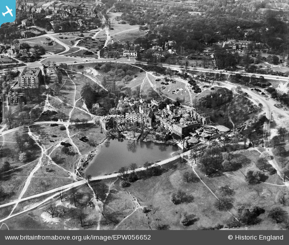
EPW056652 ENGLAND (1938). Vale of Health, Hampstead, 1938
© Copyright OpenStreetMap contributors and licensed by the OpenStreetMap Foundation. 2026. Cartography is licensed as CC BY-SA.
Nearby Images (11)
EPW056652

EAW000612

EPW016652

EPW013228

EPW009353

EPW000815

EPW011417

EPW000430

EPW000818

EPW028170

EPW005126

Details
| Title | [EPW056652] Vale of Health, Hampstead, 1938 |
| Reference | EPW056652 |
| Date | 30-March-1938 |
| Link | |
| Place name | HAMPSTEAD |
| Parish | |
| District | |
| Country | ENGLAND |
| Easting / Northing | 526517, 186446 |
| Longitude / Latitude | -0.17459217650833, 51.562206581665 |
| National Grid Reference | TQ265864 |
Pins


User Comment Contributions
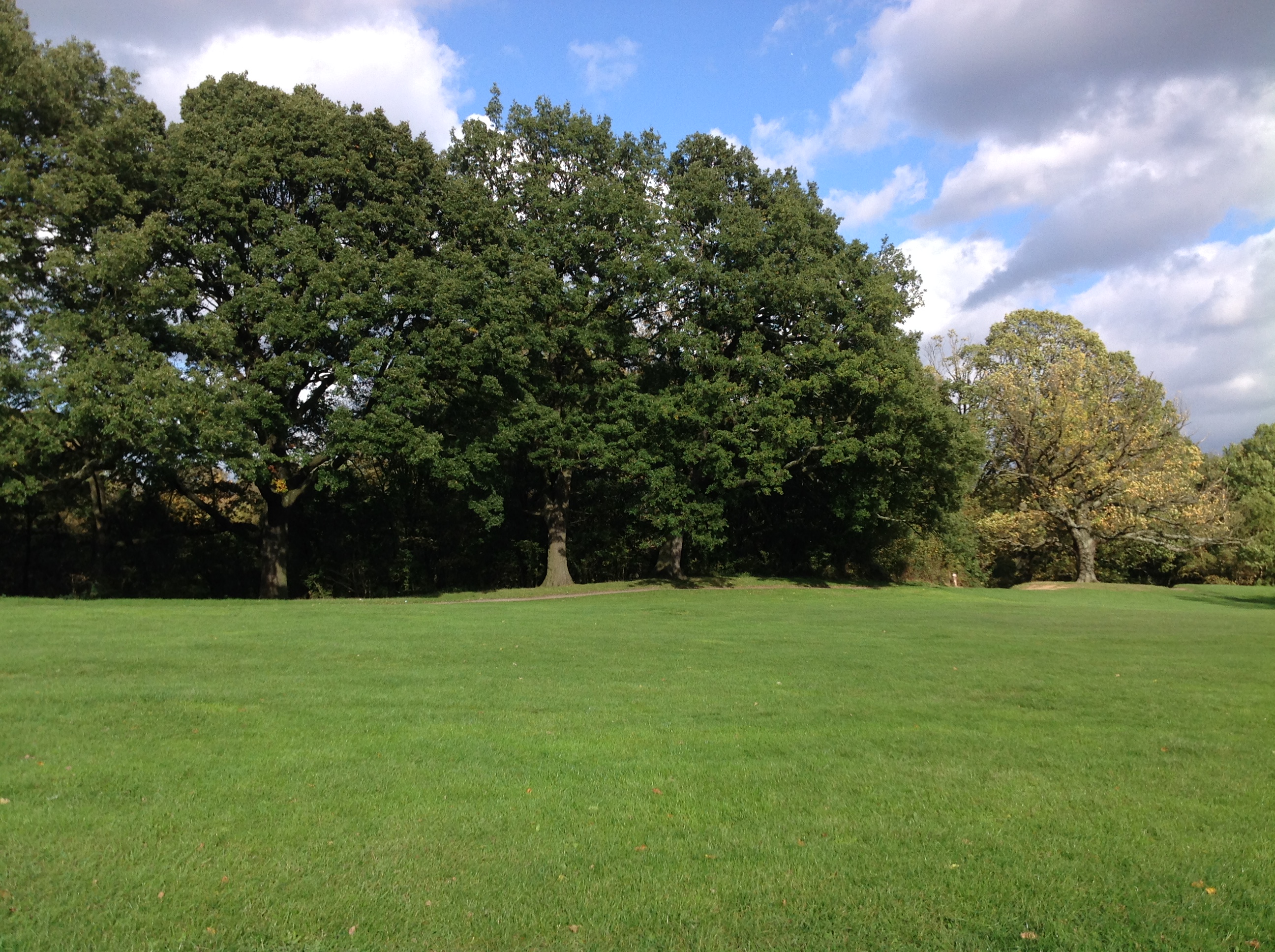
Hampstead Heath, 21/10/2014 |

Class31 |
Monday 27th of October 2014 02:17:58 PM |