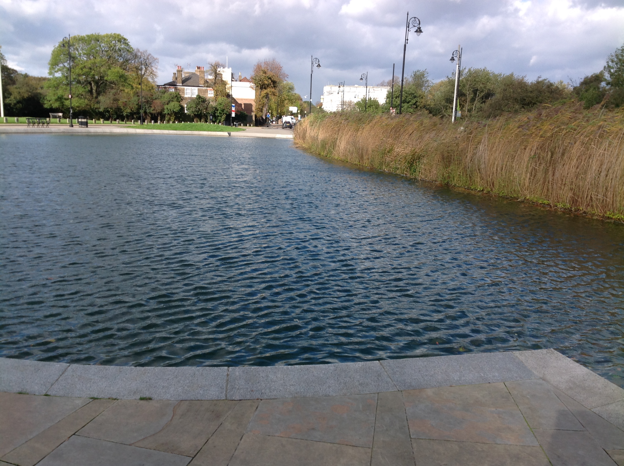
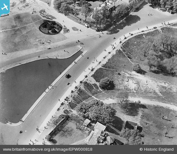
EPW000818 ENGLAND (1920). Whitestone Pond, Hampstead, 1920
© Copyright OpenStreetMap contributors and licensed by the OpenStreetMap Foundation. 2026. Cartography is licensed as CC BY-SA.
Nearby Images (18)
EPW000818

EPW028170

EPW056655

EPW026949

EPW009353

EPW026950

EPW020197

EPW020197
EPW020198

EPW020198
EPW000430

EAW000612

EPW056656

EPW056652

EPW016652

EPW000815

EAW000613

EAW000610

Details
| Title | [EPW000818] Whitestone Pond, Hampstead, 1920 |
| Reference | EPW000818 |
| Date | May-1920 |
| Link | |
| Place name | HAMPSTEAD |
| Parish | |
| District | |
| Country | ENGLAND |
| Easting / Northing | 526289, 186339 |
| Longitude / Latitude | -0.17791845293651, 51.561295990229 |
| National Grid Reference | TQ263863 |
Pins

Class31 |
Wednesday 22nd of October 2014 08:08:58 AM |