
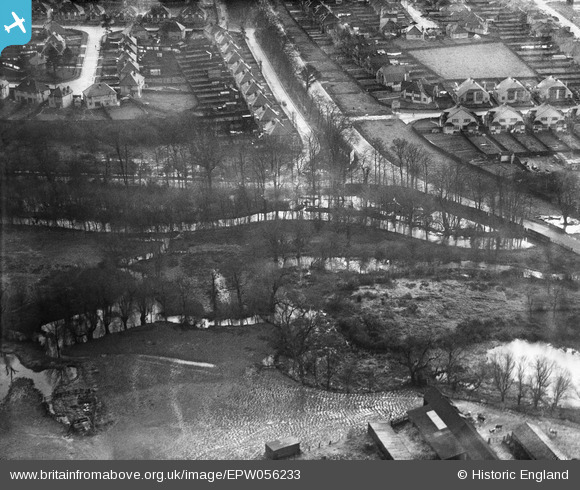
EPW056233 ENGLAND (1937). Kingston Road and Hogsmill River, Tolworth, 1937
© Copyright OpenStreetMap contributors and licensed by the OpenStreetMap Foundation. 2026. Cartography is licensed as CC BY-SA.
Nearby Images (8)
EPW056233

EPW056238

EPW056237

EPW052354

EPW056236

EPW056235

EPW056234

EPW056232

Details
| Title | [EPW056233] Kingston Road and Hogsmill River, Tolworth, 1937 |
| Reference | EPW056233 |
| Date | 14-December-1937 |
| Link | |
| Place name | TOLWORTH |
| Parish | |
| District | |
| Country | ENGLAND |
| Easting / Northing | 520430, 165193 |
| Longitude / Latitude | -0.26961507360833, 51.372508298686 |
| National Grid Reference | TQ204652 |
Pins
Be the first to add a comment to this image!